Crossett night lights from space
Night Light of Crossett (Arkansas) from space (United States) Src. Average luminocity for 10x10km area is 31.3077% and for 50x50km: 2.0869%.
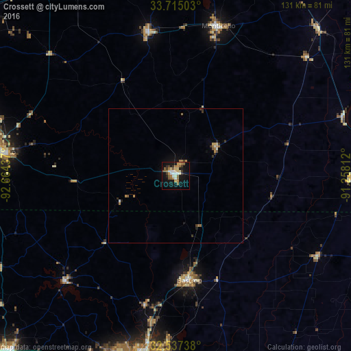
Analysis of Crossett night lights 2016
Square area 10x10 km:
 4.21%
4.21%90-99
4.03%80-89
5.68%70-79
3.11%60-69
7.14%50-59
5.31%40-49
2.01%30-39
3.66%20-29
2.56%10-19
32.05%0-9
30.22%Square area 50x50 km:
0.17%90-99
0.23%80-89
0.28%70-79
0.31%60-69
0.44%50-59
0.31%40-49
0.16%30-39
0.38%20-29
0.22%10-19
1.55%0-9
95.94%Clear (daylight) street map image can be seen on geolist.org.
Map coordinates:
33° 42' 54.1" North, 92° 39' 51.7" West
33° 7' 41.4" North, 91° 57' 40.5" West
32° 32' 14.6" North, 91° 15' 29.2" West
Some cities around Crossett sort by population:
• Monroe
70.4 km =43.7 mi,  192°
192°
• Greenville
89.4 km =55.6 mi,  69°
69°
• El Dorado
66.2 km =41.1 mi,  277°
277°
• West Monroe
70 km =43.5 mi, 194°
• Claiborne
71.4 km =44.4 mi,  197°
197°
• Bastrop
39.2 km =24.4 mi,  173°
173°
• Monticello
57.9 km =36 mi,  15°
15°
• Warren
54.7 km =34 mi,  349°
349°
4107198 (p: 5,220)
Sources (retrieved 2019-11-25):
» Earth at Night: Flat Maps 2012, 2016