Minnetonka night lights from space
Night Light of Minnetonka (Minnesota) from space (United States) Src. Average luminocity for 10x10km area is 56.2825% and for 50x50km: 49.6931%.


Analysis of Minnetonka night lights 2016
Square area 10x10 km:
 2.86%
2.86%90-99
3.65%80-89
4.76%70-79
7.78%60-69
18.89%50-59
33.49%40-49
13.65%30-39
3.33%20-29
9.37%10-19
2.22%0-9
0%Square area 50x50 km:
13.36%90-99
11.52%80-89
6.06%70-79
6.53%60-69
9.24%50-59
6.53%40-49
4.43%30-39
2.87%20-29
4.03%10-19
6.15%0-9
29.29%Clear (daylight) street map image can be seen on geolist.org.
Map coordinates:
45° 24' 32.7" North, 94° 12' 23.1" West
44° 54' 47.9" North, 93° 30' 11.8" West
44° 24' 47.6" North, 92° 48' 0.6" West
Some cities around Minnetonka sort by population:
• Plymouth
11.4 km =7.1 mi,  19°
19°
• Eden Prairie
7 km =4.3 mi,  158°
158°
• Edina
12.4 km =7.7 mi,  102°
102°
• Saint Louis Park
12.8 km =8 mi,  72°
72°
• Chanhassen
6.1 km =3.8 mi,  200°
200°
• Hopkins
3.4 km =2.1 mi, 67°
• Orono
10.2 km =6.3 mi,  309°
309°
• Shorewood
6.9 km =4.3 mi,  258°
258°
5037784 (p: 51,669)
Sources (retrieved 2019-11-25):
» NASA, Earths city lights 1995
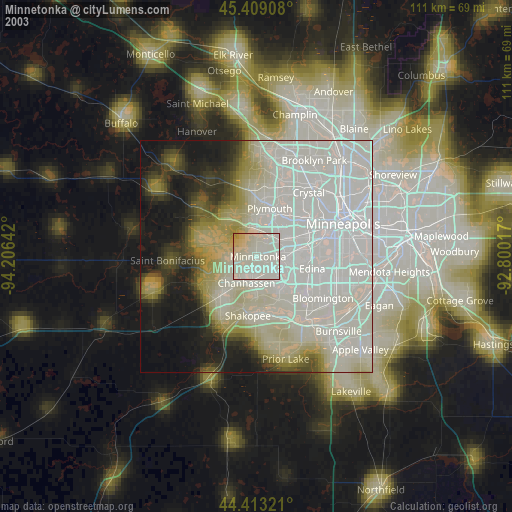
» NASA city lights 2003
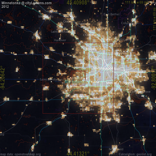
» Earth at Night: Flat Maps 2012, 2016