Middleborough night lights from space
Night Light of Middleborough (Massachusetts) from space (United States) Src. Average luminocity for 10x10km area is 29.1635% and for 50x50km: 27.2886%.
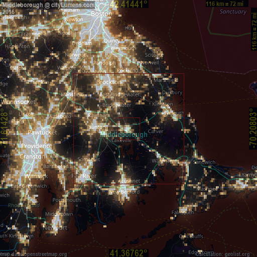
Analysis of Middleborough night lights 2016
Square area 10x10 km:
 1.9%
1.9%90-99
5.56%80-89
3.49%70-79
1.75%60-69
4.92%50-59
3.65%40-49
4.13%30-39
6.83%20-29
11.27%10-19
31.27%0-9
25.24%Square area 50x50 km:
2.84%90-99
3.78%80-89
3.04%70-79
2.59%60-69
3.56%50-59
5.38%40-49
5.4%30-39
6.42%20-29
11.18%10-19
17.57%0-9
38.24%Clear (daylight) street map image can be seen on geolist.org.
Map coordinates:
42° 24' 51.9" North, 71° 36' 51.4" West
41° 53' 35.4" North, 70° 54' 40.1" West
41° 22' 3.4" North, 70° 12' 28.9" West
Some cities around Middleborough sort by population:
• Taunton
14.8 km =9.2 mi,  272°
272°
• East Bridgewater
16.1 km =10 mi,  345°
345°
• Raynham
14.8 km =9.2 mi,  294°
294°
• Carver
12.3 km =7.6 mi,  95°
95°
• Bridgewater
12 km =7.5 mi,  333°
333°
• Halifax
11.6 km =7.2 mi,  20°
20°
• West Bridgewater
16.1 km =10 mi, 330°
• Berkley
15.2 km =9.4 mi,  249°
249°
4943888 (p: 23,116)
Sources (retrieved 2019-11-25):
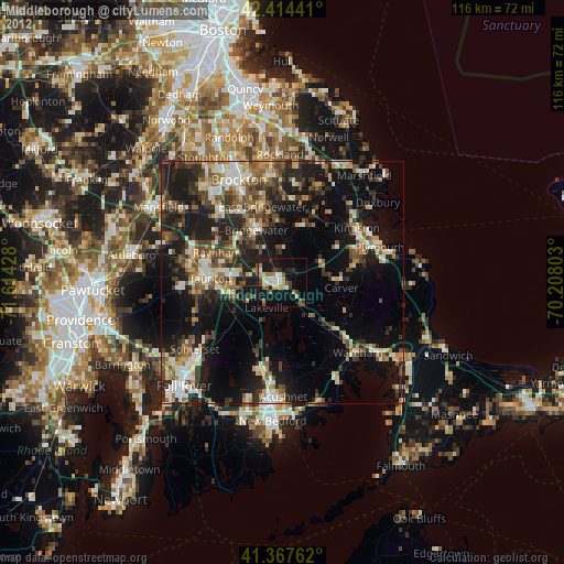
» Earth at Night: Flat Maps 2012, 2016