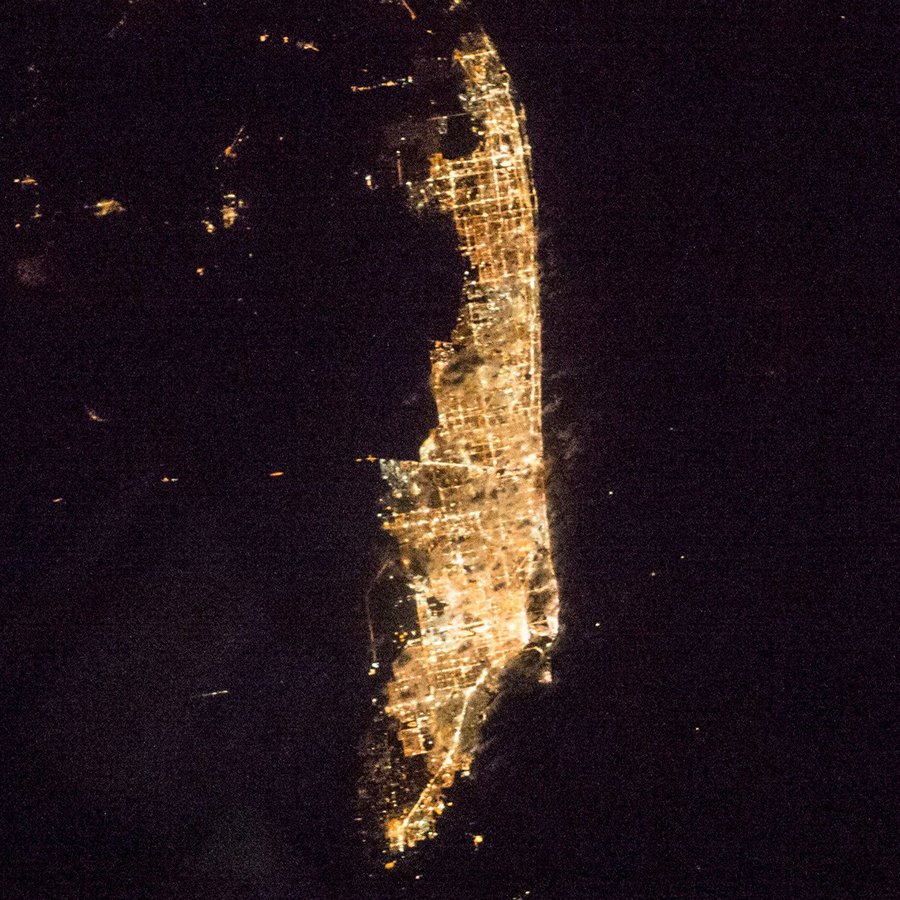
Miami night lights from space
Night Light of Miami (Florida) from space (United States) Src. Average luminocity for 10x10km area is 88.7652% and for 50x50km: 51.0561%.

Analysis of Miami night lights 2016
Square area 10x10 km:
 48.86%
90-99
19.32%80-89
3.03%70-79
10.42%60-69
10.04%50-59
6.06%40-49
2.08%30-39
0.19%20-29
0%10-19
0%0-9
0%Square area 50x50 km:
29.62%90-99
10.05%80-89
2.28%70-79
3.03%60-69
4.19%50-59
2.52%40-49
3.17%30-39
1.78%20-29
2.06%10-19
4.01%0-9
37.28%Clear (daylight) street map image can be seen on geolist.org.
Map coordinates:
26° 24' 20.7" North, 80° 53' 48.4" West
25° 46' 27.4" North, 80° 11' 37.2" West
25° 8' 21.9" North, 79° 29' 25.9" West
Fantastic image of Miami from space taken by astronauts [src2], but I don't have information about it's orientation, scale or angle. If necessary, it was rotated manually, so North points approximately to upper direction. Click to zoom in:
Some cities around Miami sort by population:
• Allapattah
5.4 km =3.4 mi,  325°
325°
• Coral Gables
9.5 km =5.9 mi,  231°
231°
• West Little River
10.2 km =6.3 mi, 334°
• Coconut Grove
9.3 km =5.8 mi,  222°
222°
• Brownsville
7.1 km =4.4 mi,  317°
317°
• Key Biscayne
9.5 km =5.9 mi,  160°
160°
• Gladeview
8.4 km =5.2 mi, 329°
• North Bay Village
8.9 km =5.5 mi,  26°
26°
4164138 (p: 441,003)
Sources (retrieved 2019-11-25):
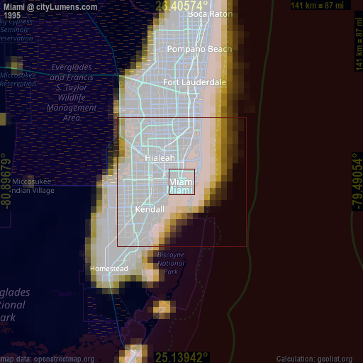
» NASA, Earths city lights 1995
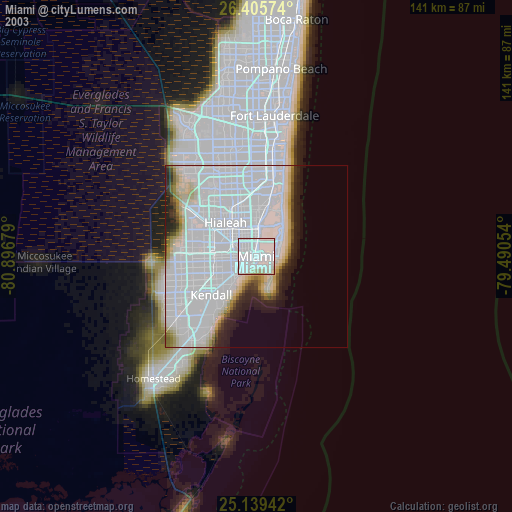
» NASA city lights 2003
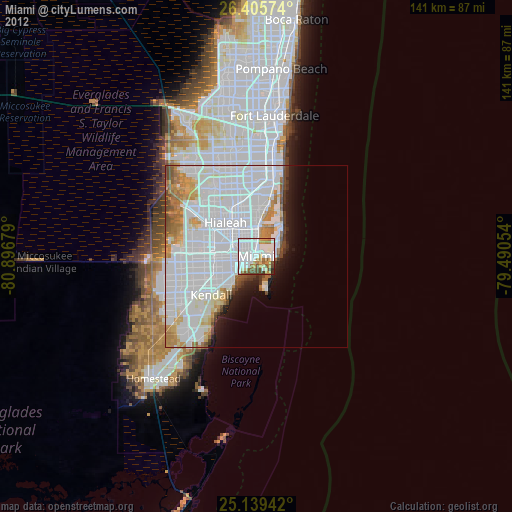
» Earth at Night: Flat Maps 2012, 2016
Src.2: Shane Kimbrough Twitter@astro_kimbroughĀĀ2017-01-05