Key Biscayne night lights from space
Night Light of Key Biscayne (Florida) from space (United States) Src. Average luminocity for 10x10km area is 27.3731% and for 50x50km: 38.1369%.
Analysis of Key Biscayne night lights 2016
Square area 10x10 km:
 2.46%
2.46%90-99
2.46%80-89
1.14%70-79
0%60-69
4.92%50-59
7.58%40-49
9.28%30-39
9.85%20-29
9.47%10-19
21.21%0-9
31.63%Square area 50x50 km:
21.73%90-99
7.39%80-89
2.17%70-79
2.12%60-69
2.85%50-59
1.8%40-49
2.3%30-39
1.6%20-29
2.17%10-19
4.21%0-9
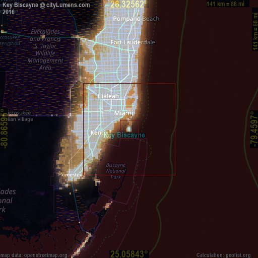
51.66%Clear (daylight) street map image can be seen on geolist.org.
Map coordinates:
26° 19' 32.2" North, 80° 51' 57.4" West
25° 41' 37.4" North, 80° 9' 46.2" West
25° 3' 30.3" North, 79° 27' 34.9" West
Some cities around Key Biscayne sort by population:
• Miami
9.5 km =5.9 mi,  340°
340°
• Miami Beach
11.3 km =7 mi,  16°
16°
• Allapattah
14.8 km =9.2 mi, 335°
• Coral Gables
11 km =6.8 mi,  286°
286°
• Coral Terrace
15.3 km =9.5 mi, 292°
• Coconut Grove
9.7 km =6 mi,  282°
282°
• Pinecrest
14.9 km =9.3 mi,  258°
258°
• South Miami
13.2 km =8.2 mi, 276°
4160789 (p: 12,990)
Sources (retrieved 2019-11-25):
» Earth at Night: Flat Maps 2012, 2016