Merrimack night lights from space
Night Light of Merrimack (New Hampshire) from space (United States) Src. Average luminocity for 10x10km area is 27.4127% and for 50x50km: 20.9154%.
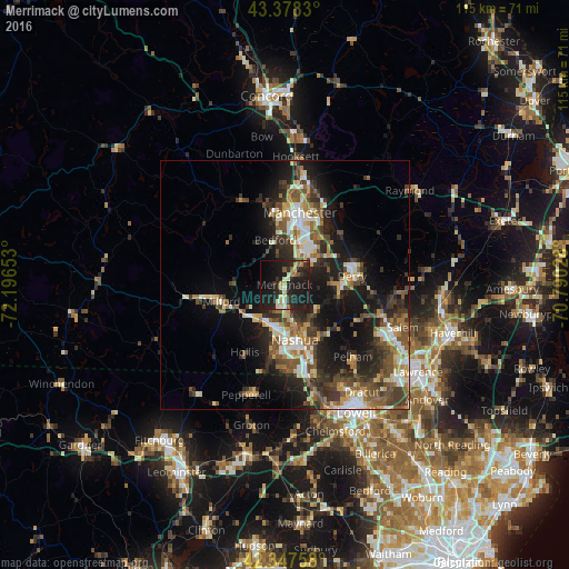
Analysis of Merrimack night lights 2016
Square area 10x10 km:
 0.32%
0.32%90-99
4.76%80-89
5.71%70-79
0.95%60-69
1.59%50-59
3.02%40-49
1.59%30-39
5.71%20-29
19.37%10-19
43.49%0-9
13.49%Square area 50x50 km:
2.49%90-99
3.37%80-89
2.22%70-79
2.53%60-69
2.6%50-59
3.77%40-49
4.08%30-39
3.83%20-29
7.46%10-19
13.22%0-9
54.41%Clear (daylight) street map image can be seen on geolist.org.
Map coordinates:
43° 22' 41.9" North, 72° 11' 47.5" West
42° 51' 54.3" North, 71° 29' 36.2" West
42° 20' 51.3" North, 70° 47' 25" West
Some cities around Merrimack sort by population:
• Manchester
14.9 km =9.3 mi,  12°
12°
• Nashua
11.3 km =7 mi,  169°
169°
• Derry
13.6 km =8.5 mi,  82°
82°
• Bedford
9.2 km =5.7 mi,  348°
348°
• Londonderry
9.7 km =6 mi,  90°
90°
• Milford
13.1 km =8.1 mi,  255°
255°
• Litchfield
2.6 km =1.6 mi,  154°
154°
• Hudson
12 km =7.5 mi,  158°
158°
5089478 (p: 26,726)
Sources (retrieved 2019-11-25):
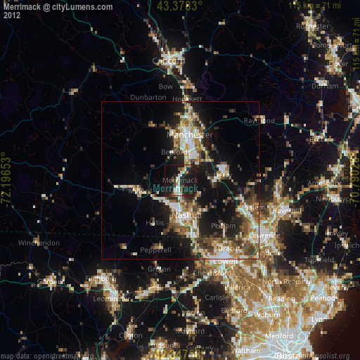
» Earth at Night: Flat Maps 2012, 2016