Bedford night lights from space
Night Light of Bedford (New Hampshire) from space (United States) Src. Average luminocity for 10x10km area is 33.4444% and for 50x50km: 15.9264%.
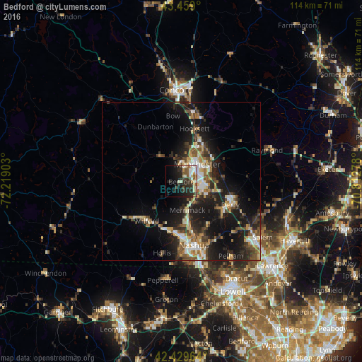
Analysis of Bedford night lights 2016
Square area 10x10 km:
 5.4%
5.4%90-99
7.3%80-89
3.97%70-79
1.9%60-69
2.86%50-59
6.19%40-49
3.17%30-39
7.78%20-29
14.6%10-19
17.14%0-9
29.68%Square area 50x50 km:
1.9%90-99
2.58%80-89
1.62%70-79
1.94%60-69
1.85%50-59
2.5%40-49
2.63%30-39
2.62%20-29
5.83%10-19
13.41%0-9
63.13%Clear (daylight) street map image can be seen on geolist.org.
Map coordinates:
43° 27' 32.4" North, 72° 13' 8.5" West
42° 56' 47.3" North, 71° 30' 57.2" West
42° 25' 46.7" North, 70° 48' 46" West
Some cities around Bedford sort by population:
• Manchester
7.4 km =4.6 mi,  42°
42°
• Merrimack
9.2 km =5.7 mi,  168°
168°
• Derry
17 km =10.6 mi,  115°
115°
• Londonderry
14.7 km =9.1 mi,  128°
128°
• Milford
16.4 km =10.2 mi,  221°
221°
• Litchfield
11.7 km =7.3 mi, 165°
• South Hooksett
11 km =6.8 mi, 36°
• Auburn
15.1 km =9.4 mi,  64°
64°
5083221 (p: 21,188)
Sources (retrieved 2019-11-25):
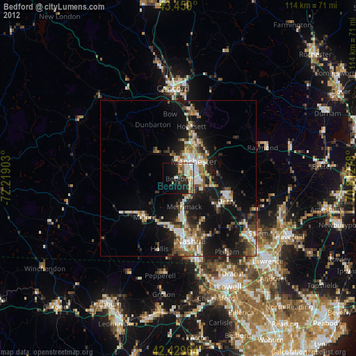
» Earth at Night: Flat Maps 2012, 2016