Mequon night lights from space
Night Light of Mequon (Wisconsin) from space (United States) Src. Average luminocity for 10x10km area is 55.8136% and for 50x50km: 35.8429%.
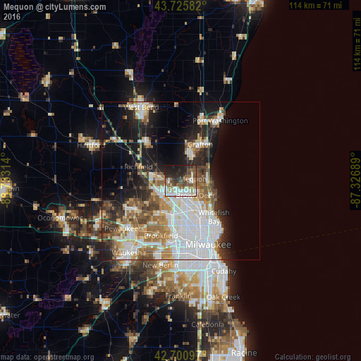
Analysis of Mequon night lights 2016
Square area 10x10 km:
 11.82%
90-99
14.24%80-89
3.48%70-79
3.48%60-69
7.58%50-59
11.67%40-49
11.21%30-39
7.88%20-29
16.36%10-19
11.67%0-9
0.61%Square area 50x50 km:
11.3%90-99
6.49%80-89
3.44%70-79
3.27%60-69
4.72%50-59
4.74%40-49
4.35%30-39
3.49%20-29
6.72%10-19
12.36%0-9
39.11%Clear (daylight) street map image can be seen on geolist.org.
Map coordinates:
43° 43' 33" North, 88° 43' 59.3" West
43° 12' 56" North, 88° 1' 48" West
42° 42' 3.5" North, 87° 19' 36.8" West
Some cities around Mequon sort by population:
• Menomonee Falls
8.2 km =5.1 mi,  240°
240°
• Germantown
6.7 km =4.2 mi,  282°
282°
• Glendale
11.8 km =7.3 mi,  139°
139°
• Brown Deer
7.9 km =4.9 mi, 137°
• Richfield
14 km =8.7 mi,  288°
288°
• Grafton
13.1 km =8.1 mi,  28°
28°
• Cedarburg
9.7 km =6 mi,  20°
20°
• Fox Point
12.2 km =7.6 mi,  121°
121°
5262649 (p: 23,132)
Sources (retrieved 2019-11-25):
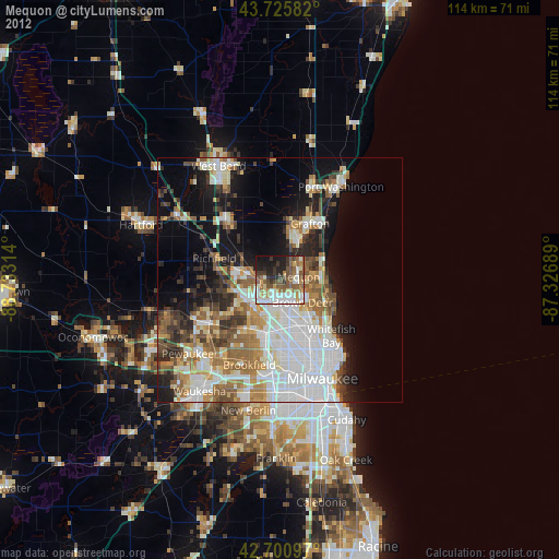
» Earth at Night: Flat Maps 2012, 2016