Menomonee Falls night lights from space
Night Light of Menomonee Falls (Wisconsin) from space (United States) Src. Average luminocity for 10x10km area is 64.953% and for 50x50km: 41.9014%.
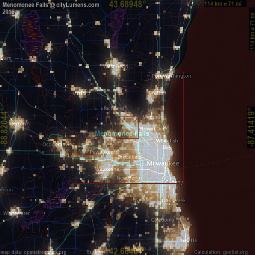
Analysis of Menomonee Falls night lights 2016
Square area 10x10 km:
 11.97%
90-99
11.06%80-89
8.33%70-79
13.64%60-69
10.76%50-59
11.52%40-49
12.42%30-39
10.61%20-29
9.55%10-19
0.15%0-9
0%Square area 50x50 km:
13.28%90-99
7.31%80-89
3.94%70-79
3.71%60-69
5.51%50-59
5.34%40-49
5.47%30-39
4.69%20-29
8.01%10-19
14.86%0-9
27.88%Clear (daylight) street map image can be seen on geolist.org.
Map coordinates:
43° 41' 22.1" North, 88° 49' 13.6" West
43° 10' 44" North, 88° 7' 2.3" West
42° 39' 50.4" North, 87° 24' 51.1" West
Some cities around Menomonee Falls sort by population:
• Brookfield
13.2 km =8.2 mi,  176°
176°
• Mequon
8.2 km =5.1 mi,  60°
60°
• Germantown
5.6 km =3.5 mi,  5°
5°
• Glendale
15.5 km =9.6 mi,  108°
108°
• Brown Deer
12.5 km =7.8 mi,  97°
97°
• Richfield
10.6 km =6.6 mi,  324°
324°
• Sussex
9.9 km =6.2 mi,  239°
239°
• Elm Grove
15.4 km =9.6 mi,  168°
168°
5262630 (p: 36,119)
Sources (retrieved 2019-11-25):
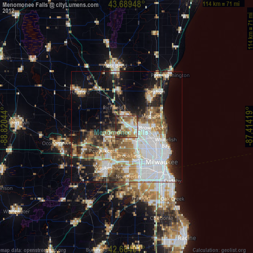
» Earth at Night: Flat Maps 2012, 2016