Melrose night lights from space
Night Light of Melrose (New York) from space (United States) Src. Average luminocity for 10x10km area is 98.3912% and for 50x50km: 85.414%.
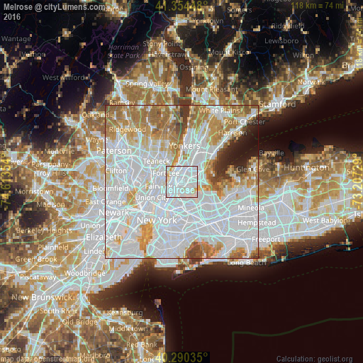
Analysis of Melrose night lights 2016
Square area 10x10 km:
 68.54%
90-99
25.17%80-89
4.59%70-79
1.7%60-69
0%50-59
0%40-49
0%30-39
0%20-29
0%10-19
0%0-9
0%Square area 50x50 km:
45.84%90-99
18.68%80-89
6.04%70-79
7.8%60-69
9.28%50-59
3.86%40-49
2.04%30-39
1.85%20-29
2.01%10-19
2.31%0-9
0.29%Clear (daylight) street map image can be seen on geolist.org.
Map coordinates:
41° 21' 16.1" North, 74° 36' 48.7" West
40° 49' 28.4" North, 73° 54' 37.5" West
40° 17' 25.3" North, 73° 12' 26.2" West
Some cities around Melrose sort by population:
• Harlem
3.5 km =2.2 mi,  237°
237°
• Washington Heights
3.5 km =2.2 mi,  323°
323°
• Mott Haven
2 km =1.2 mi,  211°
211°
• Morris Heights
2.9 km =1.8 mi,  344°
344°
• Hunts Point
2.6 km =1.6 mi,  120°
120°
• Morrisania
0.6 km =0.4 mi,  31°
31°
• East Tremont
2.8 km =1.7 mi,  35°
35°
• Tremont
2.8 km =1.7 mi,  8°
8°
5126550 (p: 22,470)
Sources (retrieved 2019-11-25):
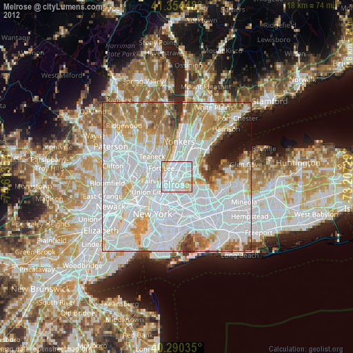
» Earth at Night: Flat Maps 2012, 2016