Tremont night lights from space
Night Light of Tremont (New York) from space (United States) Src. Average luminocity for 10x10km area is 97.4286% and for 50x50km: 84.4106%.
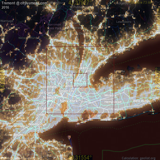
Analysis of Tremont night lights 2016
Square area 10x10 km:
 66.84%
90-99
24.66%80-89
2.55%70-79
4.76%60-69
1.19%50-59
0%40-49
0%30-39
0%20-29
0%10-19
0%0-9
0%Square area 50x50 km:
43.96%90-99
18.1%80-89
6.29%70-79
8.24%60-69
10.23%50-59
4.11%40-49
2.19%30-39
2.06%20-29
2.07%10-19
2.38%0-9
0.36%Clear (daylight) street map image can be seen on geolist.org.
Map coordinates:
41° 22' 45.4" North, 74° 36' 31.8" West
40° 50' 58.3" North, 73° 54' 20.5" West
40° 18' 55.9" North, 73° 12' 9.3" West
Some cities around Tremont sort by population:
• Washington Heights
2.5 km =1.6 mi,  271°
271°
• Fordham
1.2 km =0.7 mi,  29°
29°
• Morris Heights
1.2 km =0.7 mi, 271°
• University Heights
1.2 km =0.7 mi,  345°
345°
• Morrisania
2.3 km =1.4 mi,  181°
181°
• East Tremont
1.3 km =0.8 mi,  110°
110°
• Melrose
2.8 km =1.7 mi,  188°
188°
• Inwood
2.5 km =1.6 mi,  315°
315°
5141342 (p: 22,870)
Sources (retrieved 2019-11-25):
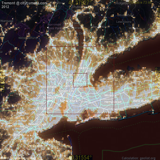
» Earth at Night: Flat Maps 2012, 2016