Washington Heights night lights from space
Night Light of Washington Heights (New York) from space (United States) Src. Average luminocity for 10x10km area is 96.9286% and for 50x50km: 85.3116%.
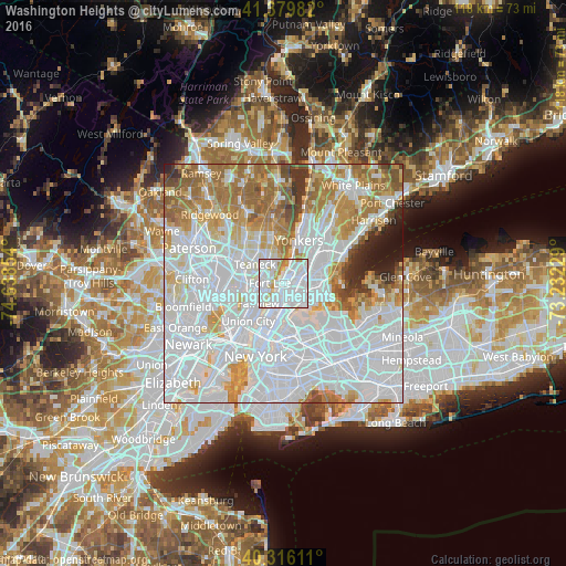
Analysis of Washington Heights night lights 2016
Square area 10x10 km:
 57.65%
90-99
31.63%80-89
4.76%70-79
4.76%60-69
1.19%50-59
0%40-49
0%30-39
0%20-29
0%10-19
0%0-9
0%Square area 50x50 km:
44.73%90-99
18.49%80-89
6.23%70-79
8.15%60-69
10.08%50-59
4.31%40-49
2.15%30-39
2.12%20-29
1.93%10-19
1.79%0-9
0.01%Clear (daylight) street map image can be seen on geolist.org.
Map coordinates:
41° 22' 47.4" North, 74° 38' 18.7" West
40° 51' 0.4" North, 73° 56' 7.5" West
40° 18' 58" North, 73° 13' 56.2" West
Some cities around Washington Heights sort by population:
• Fordham
3.3 km =2.1 mi,  71°
71°
• Morris Heights
1.3 km =0.8 mi,  91°
91°
• Fort Lee
2.9 km =1.8 mi,  271°
271°
• University Heights
2.5 km =1.6 mi,  63°
63°
• Morrisania
3.4 km =2.1 mi,  133°
133°
• Tremont
2.5 km =1.6 mi, 91°
• Melrose
3.5 km =2.2 mi,  143°
143°
• Inwood
1.9 km =1.2 mi,  22°
22°
5143307 (p: 152,613)
Sources (retrieved 2019-11-25):
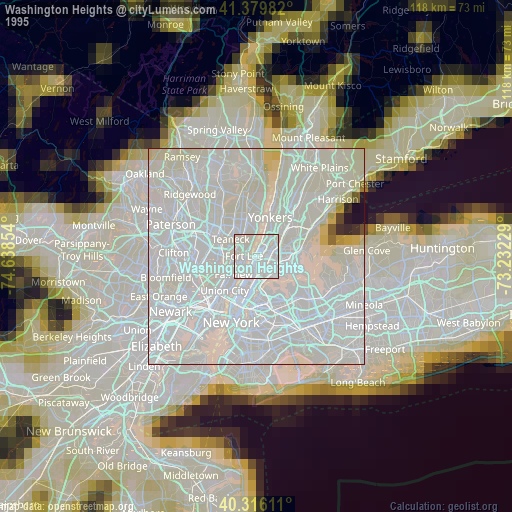
» NASA, Earths city lights 1995
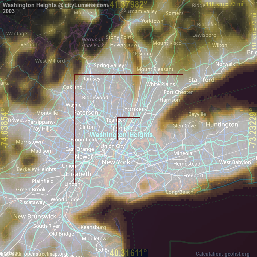
» NASA city lights 2003
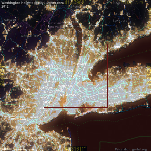
» Earth at Night: Flat Maps 2012, 2016