Winchester night lights from space
Night Light of Winchester (Massachusetts) from space (United States) Src. Average luminocity for 10x10km area is 82.7095% and for 50x50km: 56.4867%.
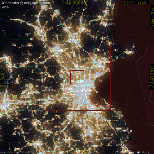
Analysis of Winchester night lights 2016
Square area 10x10 km:
 17.3%
17.3%90-99
21.27%80-89
13.65%70-79
28.1%60-69
17.62%50-59
2.06%40-49
0%30-39
0%20-29
0%10-19
0%0-9
0%Square area 50x50 km:
13.53%90-99
11.57%80-89
6.83%70-79
7.61%60-69
9.76%50-59
9.32%40-49
6.22%30-39
6.01%20-29
8.74%10-19
11.64%0-9
8.77%Clear (daylight) street map image can be seen on geolist.org.
Map coordinates:
42° 58' 8.3" North, 71° 50' 24.5" West
42° 27' 8.4" North, 71° 8' 13.2" West
41° 55' 53" North, 70° 26' 2" West
Some cities around Winchester sort by population:
• Malden
6.6 km =4.1 mi,  117°
117°
• Medford
4.5 km =2.8 mi,  146°
146°
• Arlington
4.4 km =2.7 mi,  201°
201°
• Woburn
3.2 km =2 mi,  337°
337°
• Lexington
7.2 km =4.5 mi,  265°
265°
• Melrose
5.9 km =3.7 mi,  83°
83°
• Belmont
7.1 km =4.4 mi,  208°
208°
• Stoneham
4.4 km =2.7 mi,  44°
44°
4955884 (p: 21,374)
Sources (retrieved 2019-11-25):
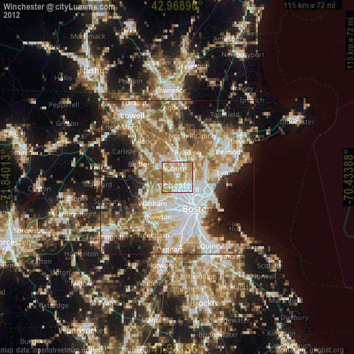
» Earth at Night: Flat Maps 2012, 2016