Wakefield night lights from space
Night Light of Wakefield (Massachusetts) from space (United States) Src. Average luminocity for 10x10km area is 79.5206% and for 50x50km: 50.6044%.
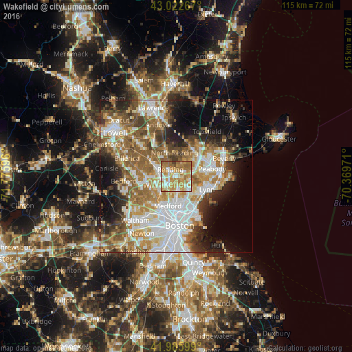
Analysis of Wakefield night lights 2016
Square area 10x10 km:
 13.49%
90-99
18.41%80-89
13.49%70-79
25.87%60-69
20.48%50-59
6.83%40-49
0.95%30-39
0.48%20-29
0%10-19
0%0-9
0%Square area 50x50 km:
12.19%90-99
10.41%80-89
5.94%70-79
6.98%60-69
8.72%50-59
8.26%40-49
5.55%30-39
5.15%20-29
7.21%10-19
9.48%0-9
20.11%Clear (daylight) street map image can be seen on geolist.org.
Map coordinates:
43° 1' 21.6" North, 71° 46' 33.5" West
42° 30' 23.3" North, 71° 4' 22.2" West
41° 59' 9.6" North, 70° 22' 11" West
Some cities around Wakefield sort by population:
• Woburn
7.2 km =4.5 mi,  245°
245°
• Melrose
5.4 km =3.4 mi,  174°
174°
• Saugus
6.9 km =4.3 mi,  131°
131°
• Reading
2.8 km =1.7 mi,  319°
319°
• Stoneham
3.7 km =2.3 mi,  216°
216°
• Winchester
8 km =5 mi, 221°
• North Reading
7.6 km =4.7 mi,  356°
356°
• Lynnfield
4.1 km =2.5 mi,  29°
29°
4954265 (p: 24,932)
Sources (retrieved 2019-11-25):
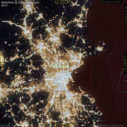
» Earth at Night: Flat Maps 2012, 2016