Medford night lights from space
Night Light of Medford (Massachusetts) from space (United States) Src. Average luminocity for 10x10km area is 92.4349% and for 50x50km: 55.6693%.
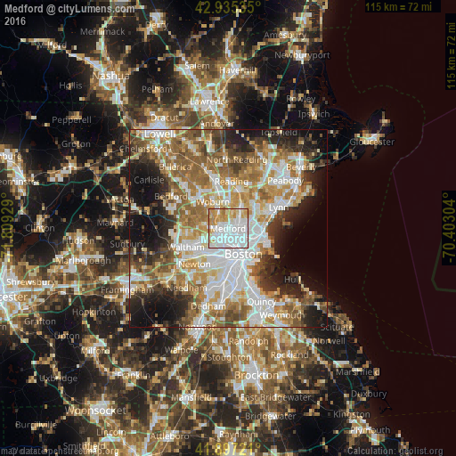

Analysis of Medford night lights 2016
Square area 10x10 km:
 49.52%
90-99
20.63%80-89
10.63%70-79
13.97%60-69
5.24%50-59
0%40-49
0%30-39
0%20-29
0%10-19
0%0-9
0%Square area 50x50 km:
13.75%90-99
11.78%80-89
6.49%70-79
7.52%60-69
9.65%50-59
8.88%40-49
5.89%30-39
5.21%20-29
8.14%10-19
11.73%0-9
10.95%Clear (daylight) street map image can be seen on geolist.org.
Map coordinates:
42° 56' 7.3" North, 71° 48' 33.4" West
42° 25' 6.3" North, 71° 6' 22.2" West
41° 53' 50" North, 70° 24' 10.9" West
Some cities around Medford sort by population:
• Cambridge
4.8 km =3 mi,  179°
179°
• Somerville
3.5 km =2.2 mi,  170°
170°
• Malden
3.4 km =2.1 mi,  77°
77°
• Everett
4.5 km =2.8 mi,  104°
104°
• Arlington
4.1 km =2.5 mi,  265°
265°
• Melrose
5.5 km =3.4 mi,  36°
36°
• Belmont
6.5 km =4 mi,  247°
247°
• Winchester
4.5 km =2.8 mi,  326°
326°
4943629 (p: 57,403)
Sources (retrieved 2019-11-25):
» NASA, Earths city lights 1995
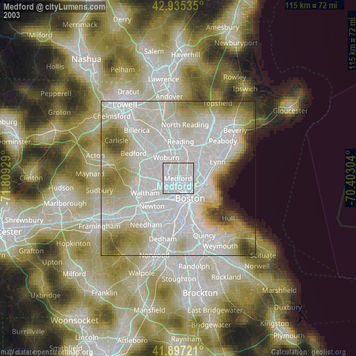
» NASA city lights 2003
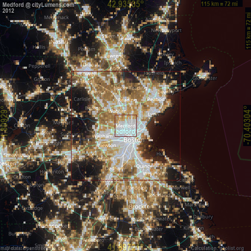
» Earth at Night: Flat Maps 2012, 2016