Maryville night lights from space
Night Light of Maryville (Tennessee) from space (United States) Src. Average luminocity for 10x10km area is 76.9406% and for 50x50km: 28.2324%.
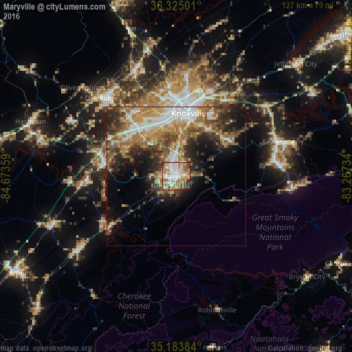
Analysis of Maryville night lights 2016
Square area 10x10 km:
 18.71%
90-99
19.76%80-89
12.59%70-79
11.54%60-69
15.73%50-59
10.14%40-49
5.42%30-39
3.32%20-29
2.1%10-19
0.7%0-9
0%Square area 50x50 km:
4.22%90-99
4.19%80-89
4.15%70-79
4.39%60-69
5.64%50-59
4.88%40-49
4.07%30-39
5.15%20-29
5.81%10-19
8.41%0-9
49.08%Clear (daylight) street map image can be seen on geolist.org.
Map coordinates:
36° 19' 30" North, 84° 40' 24.9" West
35° 45' 23.3" North, 83° 58' 13.7" West
35° 11' 1.8" North, 83° 16' 2.4" West
Some cities around Maryville sort by population:
• Knoxville
23.1 km =14.4 mi,  11°
11°
• Farragut
21.8 km =13.5 mi,  310°
310°
• Seymour
26.7 km =16.6 mi,  56°
56°
• Alcoa
3.7 km =2.3 mi,  355°
355°
• Lenoir City
26.2 km =16.3 mi,  279°
279°
• Tellico Village
27 km =16.8 mi,  252°
252°
• Loudon
32.9 km =20.4 mi,  265°
265°
• Eagleton Village
5.5 km =3.4 mi,  39°
39°
4639848 (p: 28,464)
Sources (retrieved 2019-11-25):
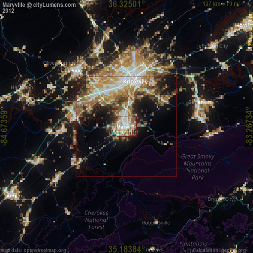
» Earth at Night: Flat Maps 2012, 2016