Knoxville night lights from space
Night Light of Knoxville (Tennessee) from space (United States) Src. Average luminocity for 10x10km area is 92.7179% and for 50x50km: 42.9627%.
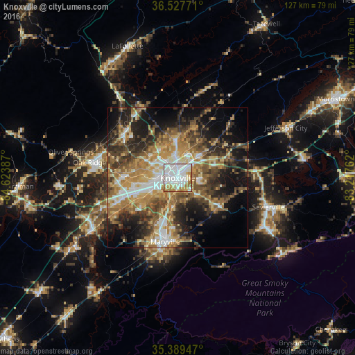

Analysis of Knoxville night lights 2016
Square area 10x10 km:
 44.14%
90-99
31.5%80-89
6.59%70-79
8.24%60-69
9.52%50-59
0%40-49
0%30-39
0%20-29
0%10-19
0%0-9
0%Square area 50x50 km:
6.2%90-99
6.18%80-89
6.41%70-79
6.97%60-69
8.63%50-59
7.43%40-49
6.56%30-39
7.99%20-29
9.43%10-19
13.35%0-9
20.85%Clear (daylight) street map image can be seen on geolist.org.
Map coordinates:
36° 31' 39.8" North, 84° 37' 25.9" West
35° 57' 38.3" North, 83° 55' 14.7" West
35° 23' 22.1" North, 83° 13' 3.4" West
Some cities around Knoxville sort by population:
• Oak Ridge
31.9 km =19.8 mi,  279°
279°
• Maryville
23.1 km =14.4 mi,  191°
191°
• Farragut
22.6 km =14 mi,  248°
248°
• Sevierville
33.9 km =21.1 mi,  107°
107°
• Seymour
19.3 km =12 mi, 113°
• Clinton
24.7 km =15.3 mi,  309°
309°
• Alcoa
19.6 km =12.2 mi, 194°
• Eagleton Village
18.4 km =11.4 mi,  183°
183°
4634946 (p: 185,291)
Sources (retrieved 2019-11-25):
» NASA, Earths city lights 1995
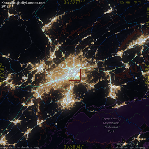
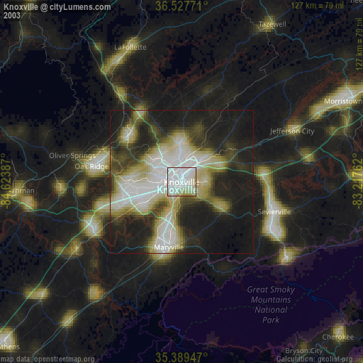
» NASA city lights 2003
» Earth at Night: Flat Maps 2012, 2016