Martinez night lights from space
Night Light of Martinez (California) from space (United States) Src. Average luminocity for 10x10km area is 50.7516% and for 50x50km: 32.2293%.
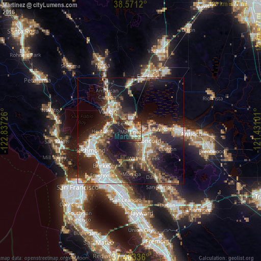
Analysis of Martinez night lights 2016
Square area 10x10 km:
 8.77%
8.77%90-99
8.77%80-89
5.03%70-79
8.77%60-69
10.06%50-59
8.44%40-49
4.22%30-39
7.31%20-29
19.48%10-19
13.31%0-9
5.84%Square area 50x50 km:
5.39%90-99
5.25%80-89
1.87%70-79
4.35%60-69
4.89%50-59
6.07%40-49
6%30-39
5.03%20-29
11.66%10-19
17.16%0-9
32.33%Clear (daylight) street map image can be seen on geolist.org.
Map coordinates:
38° 34' 16.3" North, 122° 50' 14.1" West
38° 1' 9.7" North, 122° 8' 2.9" West
37° 27' 48.1" North, 121° 25' 51.6" West
Some cities around Martinez sort by population:
• Concord
10.1 km =6.3 mi,  117°
117°
• Walnut Creek
14 km =8.7 mi,  154°
154°
• Pleasant Hill
10.2 km =6.3 mi,  141°
141°
• Benicia
4 km =2.5 mi,  327°
327°
• Hercules
13.5 km =8.4 mi,  268°
268°
• Rodeo
11.7 km =7.3 mi,  277°
277°
• Waldon
12.4 km =7.7 mi, 146°
• Contra Costa Centre
12.2 km =7.6 mi, 146°
5370868 (p: 38,137)
Sources (retrieved 2019-11-25):
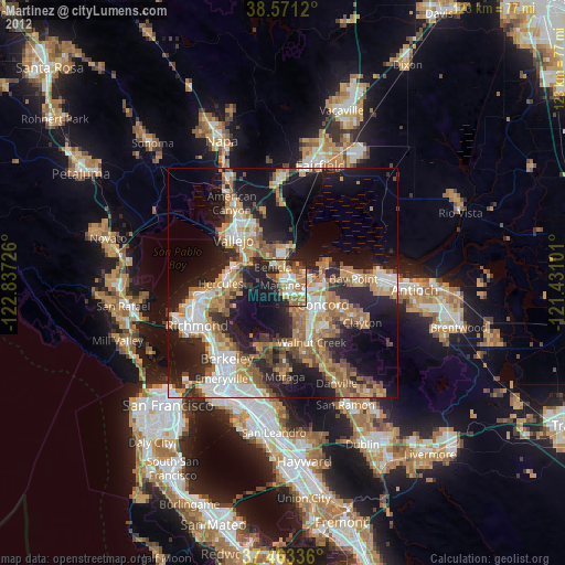
» Earth at Night: Flat Maps 2012, 2016