Pleasant Hill night lights from space
Night Light of Pleasant Hill (California) from space (United States) Src. Average luminocity for 10x10km area is 69.5568% and for 50x50km: 35.7142%.
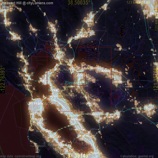
Analysis of Pleasant Hill night lights 2016
Square area 10x10 km:
 15.75%
90-99
13.47%80-89
6.82%70-79
5.68%60-69
15.75%50-59
25.65%40-49
9.42%30-39
3.57%20-29
3.9%10-19
0%0-9
0%Square area 50x50 km:
6.49%90-99
5.86%80-89
2.1%70-79
4.57%60-69
5.86%50-59
7.24%40-49
6.35%30-39
5.35%20-29
12.57%10-19
15.4%0-9
28.23%Clear (daylight) street map image can be seen on geolist.org.
Map coordinates:
38° 30' 1.3" North, 122° 45' 50.1" West
37° 56' 52.7" North, 122° 3' 38.9" West
37° 23' 29.1" North, 121° 21' 27.6" West
Some cities around Pleasant Hill sort by population:
• Concord
4.2 km =2.6 mi,  38°
38°
• Walnut Creek
4.6 km =2.9 mi,  184°
184°
• Martinez
10.2 km =6.3 mi,  321°
321°
• Lafayette
8.5 km =5.3 mi,  215°
215°
• Clayton
11 km =6.8 mi,  94°
94°
• Waldon
2.5 km =1.6 mi,  169°
169°
• Contra Costa Centre
2.3 km =1.4 mi, 173°
• Saranap
7.1 km =4.4 mi,  190°
190°
5383720 (p: 34,810)
Sources (retrieved 2019-11-25):
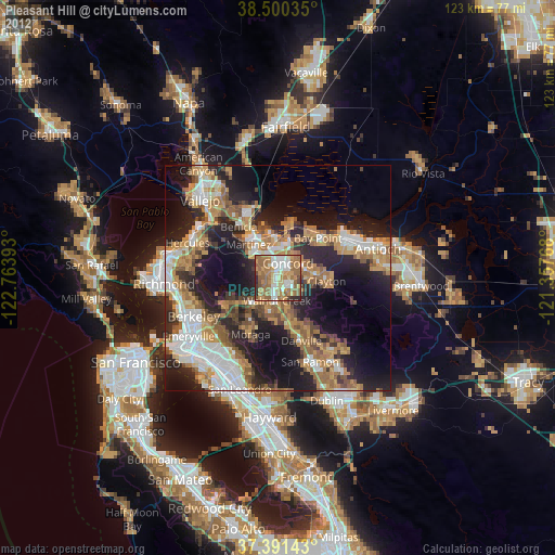
» Earth at Night: Flat Maps 2012, 2016