Concord night lights from space
Night Light of Concord (California) from space (United States) Src. Average luminocity for 10x10km area is 71.151% and for 50x50km: 32.5506%.

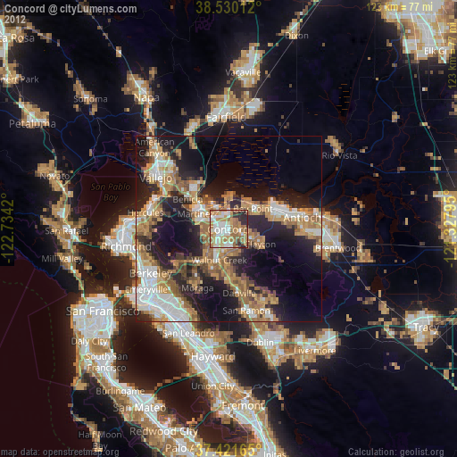
Analysis of Concord night lights 2016
Square area 10x10 km:
 15.91%
90-99
15.1%80-89
5.68%70-79
12.18%60-69
17.69%50-59
17.53%40-49
6.17%30-39
5.19%20-29
4.55%10-19
0%0-9
0%Square area 50x50 km:
5.6%90-99
5.13%80-89
1.99%70-79
4.35%60-69
5.49%50-59
6.9%40-49
5.8%30-39
4.29%20-29
11.06%10-19
15.55%0-9
33.84%Clear (daylight) street map image can be seen on geolist.org.
Map coordinates:
38° 31' 48.4" North, 122° 44' 3.1" West
37° 58' 40.7" North, 122° 1' 51.9" West
37° 25' 17.9" North, 121° 19' 40.6" West
Some cities around Concord sort by population:
• Walnut Creek
8.5 km =5.3 mi,  200°
200°
• Martinez
10.1 km =6.3 mi,  297°
297°
• Pleasant Hill
4.2 km =2.6 mi,  218°
218°
• Bay Point
8.3 km =5.2 mi,  46°
46°
• Clayton
9.3 km =5.8 mi,  116°
116°
• Contra Costa Centre
6.1 km =3.8 mi, 202°
• Waldon
6.1 km =3.8 mi, 200°
• Saranap
11.1 km =6.9 mi, 200°
5339111 (p: 128,667)
Sources (retrieved 2019-11-25):
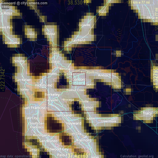
» NASA, Earths city lights 1995
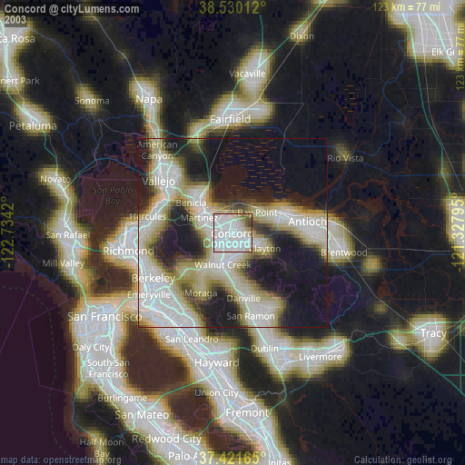
» NASA city lights 2003
» Earth at Night: Flat Maps 2012, 2016