Martin night lights from space
Night Light of Martin (Tennessee) from space (United States) Src. Average luminocity for 10x10km area is 31.7517% and for 50x50km: 6.1524%.
Analysis of Martin night lights 2016
Square area 10x10 km:
 2.27%
2.27%90-99
5.59%80-89
6.12%70-79
2.8%60-69
5.77%50-59
4.02%40-49
5.59%30-39
4.37%20-29
3.85%10-19
33.22%0-9
26.4%Square area 50x50 km:
0.42%90-99
0.74%80-89
1.07%70-79
0.68%60-69
0.68%50-59
0.95%40-49
1%30-39
0.94%20-29
0.74%10-19
4.66%0-9
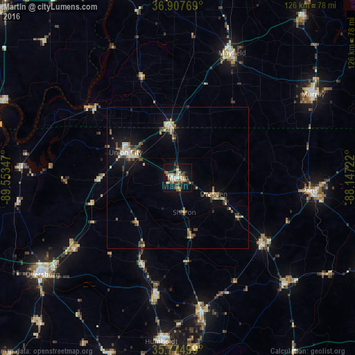
88.12%Clear (daylight) street map image can be seen on geolist.org.
Map coordinates:
36° 54' 27.7" North, 89° 33' 12.5" West
36° 20' 36.2" North, 88° 51' 1.2" West
35° 46' 30" North, 88° 8' 50" West
Some cities around Martin sort by population:
• Murray
56.3 km =35 mi,  58°
58°
• Dyersburg
59.1 km =36.7 mi,  234°
234°
• Union City
20.6 km =12.8 mi,  295°
295°
• Paris
47.1 km =29.3 mi,  95°
95°
• Mayfield
48.2 km =30 mi,  23°
23°
• Humboldt
58.5 km =36.4 mi,  185°
185°
• Milan
47.8 km =29.7 mi,  170°
170°
• McKenzie
37.9 km =23.5 mi,  128°
128°
4639684 (p: 10,959)
Sources (retrieved 2019-11-25):
» Earth at Night: Flat Maps 2012, 2016