Maple Valley night lights from space
Night Light of Maple Valley (Washington) from space (United States) Src. Average luminocity for 10x10km area is 32.071% and for 50x50km: 34.3498%.
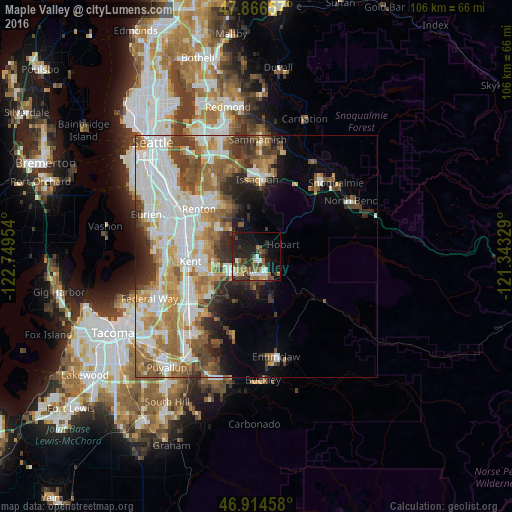
Analysis of Maple Valley night lights 2016
Square area 10x10 km:
 2.84%
2.84%90-99
5.4%80-89
2.98%70-79
1.99%60-69
5.11%50-59
6.11%40-49
7.1%30-39
8.24%20-29
10.65%10-19
24.57%0-9
25%Square area 50x50 km:
9.04%90-99
7.57%80-89
3.17%70-79
4.43%60-69
5.53%50-59
5%40-49
4.02%30-39
3.77%20-29
4.4%10-19
5.69%0-9
47.37%Clear (daylight) street map image can be seen on geolist.org.
Map coordinates:
47° 51' 59.7" North, 122° 44' 58.3" West
47° 23' 33.8" North, 122° 2' 47.1" West
46° 54' 52.5" North, 121° 20' 35.8" West
Some cities around Maple Valley sort by population:
• Kent
14.2 km =8.8 mi,  264°
264°
• East Hill-Meridian
9.8 km =6.1 mi,  281°
281°
• Covington
6.9 km =4.3 mi,  236°
236°
• Fairwood
10.4 km =6.5 mi,  306°
306°
• Lea Hill
12.6 km =7.8 mi,  233°
233°
• East Renton Highlands
11.4 km =7.1 mi,  334°
334°
• Lake Morton-Berrydale
7.9 km =4.9 mi,  212°
212°
• Hobart
6.4 km =4 mi,  59°
59°
5802340 (p: 25,686)
Sources (retrieved 2019-11-25):
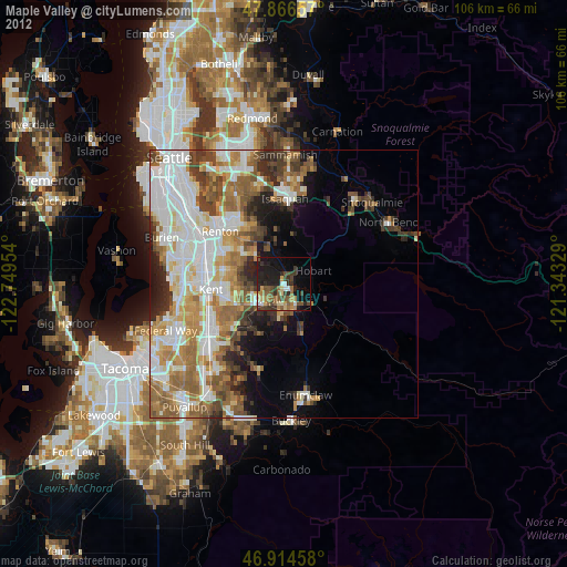
» Earth at Night: Flat Maps 2012, 2016