Manteno night lights from space
Night Light of Manteno (Illinois) from space (United States) Src. Average luminocity for 10x10km area is 33.0227% and for 50x50km: 14.7355%.
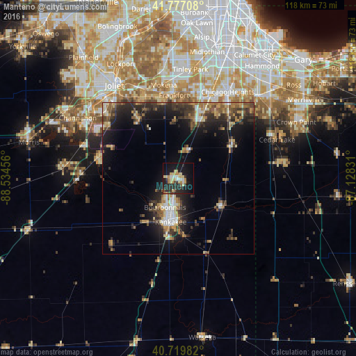
Analysis of Manteno night lights 2016
Square area 10x10 km:
 3.41%
3.41%90-99
3.08%80-89
8.93%70-79
5.68%60-69
2.76%50-59
1.95%40-49
1.62%30-39
3.9%20-29
16.56%10-19
32.79%0-9
19.32%Square area 50x50 km:
1.32%90-99
1.47%80-89
2.2%70-79
1.82%60-69
2.04%50-59
2.49%40-49
2.39%30-39
3.39%20-29
5.84%10-19
9.83%0-9
67.2%Clear (daylight) street map image can be seen on geolist.org.
Map coordinates:
41° 46' 37.5" North, 88° 32' 4.4" West
41° 15' 2.1" North, 87° 49' 53.1" West
40° 43' 11.4" North, 87° 7' 41.9" West
Some cities around Manteno sort by population:
• Kankakee
14.7 km =9.1 mi,  189°
189°
• Bourbonnais
11.7 km =7.3 mi,  203°
203°
• Bradley
12.3 km =7.6 mi, 191°
• Crete
27.3 km =17 mi,  37°
37°
• Manhattan
23.1 km =14.4 mi,  325°
325°
• University Park
24.7 km =15.3 mi,  29°
29°
• Wilmington
27.1 km =16.8 mi,  283°
283°
• Monee
20.3 km =12.6 mi,  21°
21°
4901015 (p: 8,999)
Sources (retrieved 2019-11-25):
» Earth at Night: Flat Maps 2012, 2016