Kankakee night lights from space
Night Light of Kankakee (Illinois) from space (United States) Src. Average luminocity for 10x10km area is 59.362% and for 50x50km: 8.0222%.
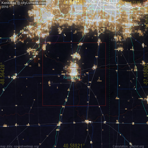
Analysis of Kankakee night lights 2016
Square area 10x10 km:
 15.58%
90-99
11.85%80-89
6.82%70-79
9.74%60-69
3.9%50-59
7.95%40-49
7.31%30-39
9.25%20-29
17.53%10-19
10.06%0-9
0%Square area 50x50 km:
1.04%90-99
0.91%80-89
1.32%70-79
1.11%60-69
0.92%50-59
1%40-49
0.92%30-39
1.43%20-29
2.76%10-19
4.82%0-9
83.78%Clear (daylight) street map image can be seen on geolist.org.
Map coordinates:
41° 38' 51.3" North, 88° 33' 51.4" West
41° 7' 12.1" North, 87° 51' 40.1" West
40° 35' 17.6" North, 87° 9' 28.9" West
Some cities around Kankakee sort by population:
• Bourbonnais
4.4 km =2.7 mi,  329°
329°
• Bradley
2.4 km =1.5 mi,  0°
0°
• Manteno
14.7 km =9.1 mi,  9°
9°
• Manhattan
35.2 km =21.9 mi,  342°
342°
• University Park
38.9 km =24.2 mi,  22°
22°
• Braidwood
33.5 km =20.8 mi,  298°
298°
• Wilmington
31.7 km =19.7 mi,  311°
311°
• Monee
34.8 km =21.6 mi, 16°
4898182 (p: 26,676)
Sources (retrieved 2019-11-25):
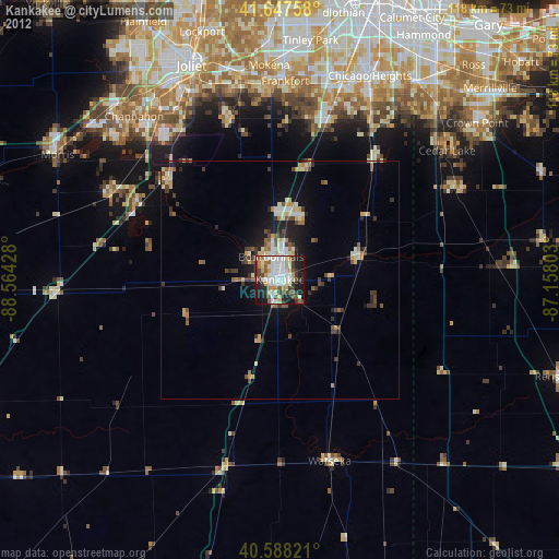
» Earth at Night: Flat Maps 2012, 2016