Mansfield night lights from space
Night Light of Mansfield (Texas) from space (United States) Src. Average luminocity for 10x10km area is 71.4178% and for 50x50km: 63.1413%.
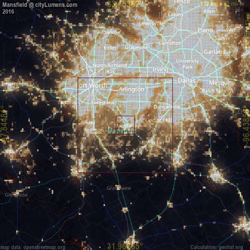
Analysis of Mansfield night lights 2016
Square area 10x10 km:
 16.78%
90-99
17.66%80-89
10.49%70-79
8.57%60-69
11.36%50-59
9.79%40-49
11.54%30-39
9.62%20-29
4.2%10-19
0%0-9
0%Square area 50x50 km:
14.75%90-99
14.8%80-89
10.68%70-79
9.22%60-69
8.22%50-59
9.3%40-49
6.66%30-39
5.63%20-29
7.18%10-19
6.34%0-9
7.24%Clear (daylight) street map image can be seen on geolist.org.
Map coordinates:
33° 9' 13.8" North, 97° 50' 41.3" West
32° 33' 47.5" North, 97° 8' 30" West
31° 58' 7.1" North, 96° 26' 18.8" West
Some cities around Mansfield sort by population:
• Arlington
19.4 km =12.1 mi,  9°
9°
• Cedar Hill
17.6 km =10.9 mi,  80°
80°
• Burleson
17 km =10.6 mi,  262°
262°
• Midlothian
16.5 km =10.3 mi,  123°
123°
• Forest Hill
17 km =10.6 mi,  315°
315°
• Rendon
9.5 km =5.9 mi,  278°
278°
• Kennedale
12.2 km =7.6 mi, 319°
• Everman
15.7 km =9.8 mi,  298°
298°
4709013 (p: 64,274)
Sources (retrieved 2019-11-25):
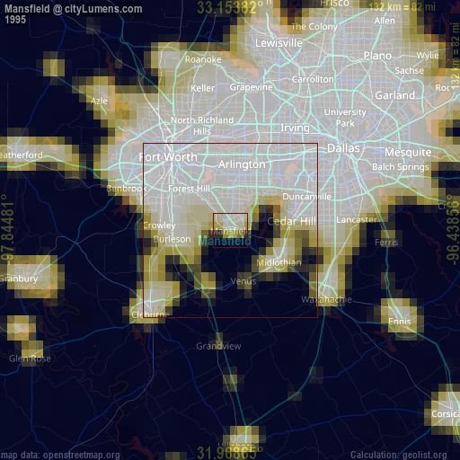
» NASA, Earths city lights 1995
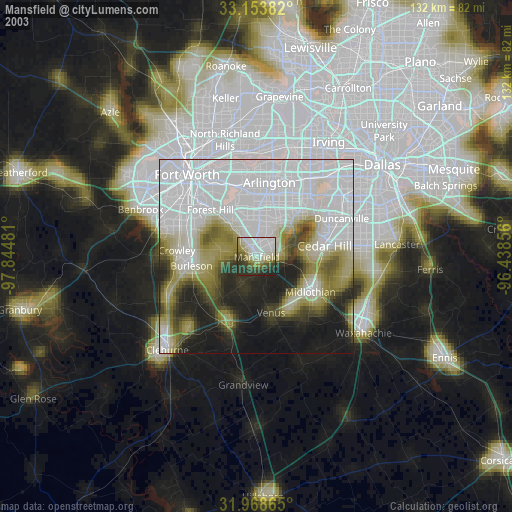
» NASA city lights 2003
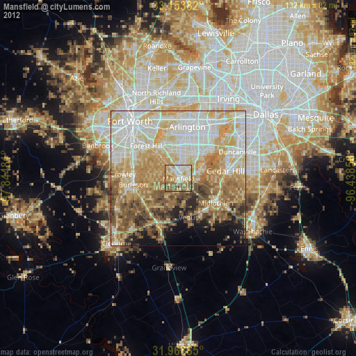
» Earth at Night: Flat Maps 2012, 2016