Burleson night lights from space
Night Light of Burleson (Texas) from space (United States) Src. Average luminocity for 10x10km area is 71.8022% and for 50x50km: 48.5706%.
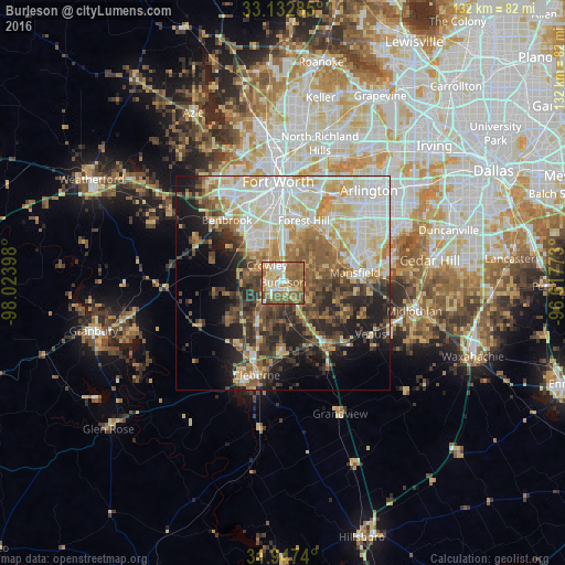
Analysis of Burleson night lights 2016
Square area 10x10 km:
 10.26%
90-99
11.36%80-89
13.74%70-79
10.99%60-69
23.08%50-59
24.36%40-49
5.49%30-39
0.73%20-29
0%10-19
0%0-9
0%Square area 50x50 km:
10.31%90-99
10.72%80-89
8.12%70-79
5.89%60-69
6.28%50-59
7.16%40-49
5.94%30-39
6.09%20-29
7.91%10-19
10.36%0-9
21.22%Clear (daylight) street map image can be seen on geolist.org.
Map coordinates:
33° 7' 58.3" North, 98° 1' 26.3" West
32° 32' 31.5" North, 97° 19' 15.1" West
31° 56' 50.6" North, 96° 37' 3.8" West
Some cities around Burleson sort by population:
• Mansfield
17 km =10.6 mi,  82°
82°
• Crowley
5.7 km =3.5 mi,  316°
316°
• Forest Hill
15.2 km =9.4 mi,  18°
18°
• Rendon
8.4 km =5.2 mi,  62°
62°
• Kennedale
14.7 km =9.1 mi,  37°
37°
• Everman
10.3 km =6.4 mi, 16°
• Keene
16.2 km =10.1 mi,  181°
181°
• Joshua
11 km =6.8 mi,  215°
215°
4677551 (p: 43,625)
Sources (retrieved 2019-11-25):
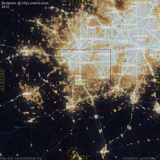
» Earth at Night: Flat Maps 2012, 2016