Midlothian night lights from space
Night Light of Midlothian (Texas) from space (United States) Src. Average luminocity for 10x10km area is 60.141% and for 50x50km: 47.0436%.
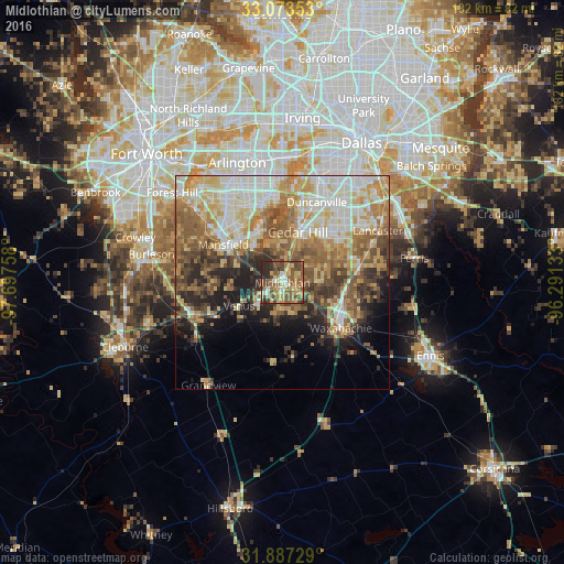
Analysis of Midlothian night lights 2016
Square area 10x10 km:
 5.68%
5.68%90-99
4.03%80-89
12.64%70-79
11.36%60-69
12.64%50-59
20.15%40-49
16.85%30-39
5.68%20-29
10.99%10-19
0%0-9
0%Square area 50x50 km:
8.29%90-99
9.69%80-89
7.77%70-79
7.52%60-69
7.41%50-59
8.86%40-49
6.27%30-39
5.46%20-29
6.06%10-19
7.11%0-9
25.57%Clear (daylight) street map image can be seen on geolist.org.
Map coordinates:
33° 4' 24.7" North, 97° 41' 51.3" West
32° 28' 56.5" North, 96° 59' 40" West
31° 53' 14.2" North, 96° 17' 28.8" West
Some cities around Midlothian sort by population:
• Mansfield
16.5 km =10.3 mi,  303°
303°
• DeSoto
17.6 km =10.9 mi,  47°
47°
• Cedar Hill
12.3 km =7.6 mi,  16°
16°
• Duncanville
20.5 km =12.7 mi, 23°
• Waxahachie
17.4 km =10.8 mi,  127°
127°
• Rendon
25.4 km =15.8 mi,  294°
294°
• Glenn Heights
14.9 km =9.3 mi,  60°
60°
• Red Oak
18.2 km =11.3 mi,  77°
77°
4711156 (p: 22,318)
Sources (retrieved 2019-11-25):
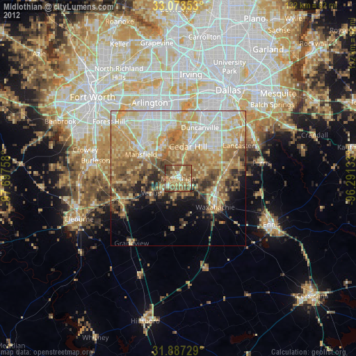
» Earth at Night: Flat Maps 2012, 2016