Manhasset night lights from space
Night Light of Manhasset (New York) from space (United States) Src. Average luminocity for 10x10km area is 85.7721% and for 50x50km: 72.4173%.
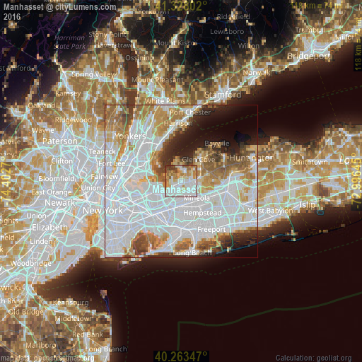
Analysis of Manhasset night lights 2016
Square area 10x10 km:
 31.8%
31.8%90-99
27.04%80-89
9.69%70-79
10.71%60-69
10.2%50-59
4.42%40-49
3.06%30-39
3.06%20-29
0%10-19
0%0-9
0%Square area 50x50 km:
36.08%90-99
15.51%80-89
5%70-79
6.63%60-69
7.04%50-59
4.84%40-49
3.63%30-39
3.25%20-29
4.53%10-19
5.62%0-9
7.86%Clear (daylight) street map image can be seen on geolist.org.
Map coordinates:
41° 19' 40.9" North, 74° 24' 9.7" West
40° 47' 52.4" North, 73° 41' 58.5" West
40° 15' 48.5" North, 72° 59' 47.2" West
Some cities around Manhasset sort by population:
• Port Washington
3.1 km =1.9 mi,  2°
2°
• Douglaston
5.1 km =3.2 mi,  230°
230°
• Great Neck
2.5 km =1.6 mi,  277°
277°
• Little Neck
4.8 km =3 mi,  215°
215°
• Great Neck Plaza
2.6 km =1.6 mi,  241°
241°
• Roslyn Heights
4.5 km =2.8 mi,  103°
103°
• North Hills
2.7 km =1.7 mi,  134°
134°
• Kings Point
3.9 km =2.4 mi,  309°
309°
5125766 (p: 8,080)
Sources (retrieved 2019-11-25):
» Earth at Night: Flat Maps 2012, 2016