North Hills night lights from space
Night Light of North Hills (New York) from space (United States) Src. Average luminocity for 10x10km area is 93.5016% and for 50x50km: 68.9157%.
Analysis of North Hills night lights 2016
Square area 10x10 km:
 43.18%
90-99
32.31%80-89
10.23%70-79
8.12%60-69
5.52%50-59
0.32%40-49
0.32%30-39
0%20-29
0%10-19
0%0-9
0%Square area 50x50 km:
33.45%90-99
14.68%80-89
4.83%70-79
6.53%60-69
6.76%50-59
4.64%40-49
3.63%30-39
3.26%20-29
5.44%10-19
6.98%0-9
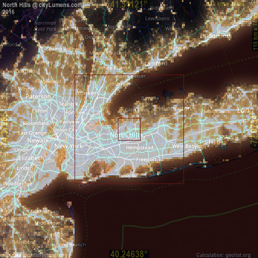
9.81%Clear (daylight) street map image can be seen on geolist.org.
Map coordinates:
41° 18' 40.4" North, 74° 22' 46.7" West
40° 46' 51.3" North, 73° 40' 35.5" West
40° 14' 47" North, 72° 58' 24.2" West
Some cities around North Hills sort by population:
• Mineola
4.6 km =2.9 mi,  139°
139°
• Manhasset
2.7 km =1.7 mi,  314°
314°
• Garden City Park
4.6 km =2.9 mi,  165°
165°
• Williston Park
3.8 km =2.4 mi, 135°
• East Hills
4.4 km =2.7 mi,  71°
71°
• Great Neck Plaza
4.3 km =2.7 mi,  278°
278°
• Roslyn Heights
2.6 km =1.6 mi, 70°
• Albertson
2.9 km =1.8 mi,  106°
106°
5129093 (p: 5,444)
Sources (retrieved 2019-11-25):
» Earth at Night: Flat Maps 2012, 2016