Little Neck night lights from space
Night Light of Little Neck (New York) from space (United States) Src. Average luminocity for 10x10km area is 96.1688% and for 50x50km: 70.6854%.
Analysis of Little Neck night lights 2016
Square area 10x10 km:
 62.5%
62.5%90-99
25.81%80-89
3.9%70-79
2.76%60-69
3.57%50-59
0.65%40-49
0.81%30-39
0%20-29
0%10-19
0%0-9
0%Square area 50x50 km:
36.48%90-99
15.53%80-89
4.64%70-79
5.35%60-69
5.7%50-59
4.28%40-49
3.55%30-39
2.95%20-29
5.07%10-19
7.32%0-9
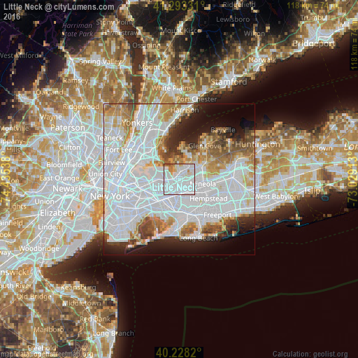
9.13%Clear (daylight) street map image can be seen on geolist.org.
Map coordinates:
41° 17' 35.9" North, 74° 26' 7.4" West
40° 45' 46.4" North, 73° 43' 56.1" West
40° 13' 41.5" North, 73° 1' 44.9" West
Some cities around Little Neck sort by population:
• Bayside
3.8 km =2.4 mi,  279°
279°
• Queens Village
4.1 km =2.5 mi,  191°
191°
• North New Hyde Park
4 km =2.5 mi,  123°
123°
• Douglaston
1.4 km =0.9 mi,  297°
297°
• Great Neck
4.2 km =2.6 mi,  4°
4°
• Manhasset
4.8 km =3 mi,  35°
35°
• Great Neck Plaza
2.7 km =1.7 mi,  10°
10°
• Glen Oaks
2.5 km =1.6 mi,  135°
135°
5124753 (p: 10,049)
Sources (retrieved 2019-11-25):
» Earth at Night: Flat Maps 2012, 2016