Great Neck Plaza night lights from space
Night Light of Great Neck Plaza (New York) from space (United States) Src. Average luminocity for 10x10km area is 88.0146% and for 50x50km: 72.6501%.
Analysis of Great Neck Plaza night lights 2016
Square area 10x10 km:
 38.96%
90-99
25.65%80-89
7.63%70-79
9.9%60-69
9.09%50-59
4.06%40-49
4.06%30-39
0.65%20-29
0%10-19
0%0-9
0%Square area 50x50 km:
36.58%90-99
15.85%80-89
4.77%70-79
6.17%60-69
6.74%50-59
4.8%40-49
3.68%30-39
3.14%20-29
5.07%10-19
5.95%0-9
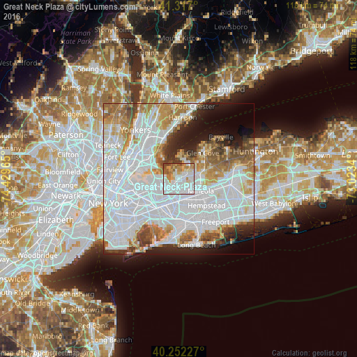
7.24%Clear (daylight) street map image can be seen on geolist.org.
Map coordinates:
41° 19' 1.2" North, 74° 25' 46.7" West
40° 47' 12.4" North, 73° 43' 35.5" West
40° 15' 8.2" North, 73° 1' 24.2" West
Some cities around Great Neck Plaza sort by population:
• Bayside
4.7 km =2.9 mi,  244°
244°
• Port Washington
4.9 km =3 mi,  28°
28°
• Douglaston
2.7 km =1.7 mi,  220°
220°
• Little Neck
2.7 km =1.7 mi,  190°
190°
• Manhasset
2.6 km =1.6 mi,  61°
61°
• Glen Oaks
4.6 km =2.9 mi,  164°
164°
• North Hills
4.3 km =2.7 mi,  98°
98°
• Kings Point
3.7 km =2.3 mi,  348°
348°
5119226 (p: 6,925)
Sources (retrieved 2019-11-25):
» Earth at Night: Flat Maps 2012, 2016