Manchester-by-the-Sea night lights from space
Night Light of Manchester-by-the-Sea (Massachusetts) from space (United States) Src. Average luminocity for 10x10km area is 9.173% and for 50x50km: 18.2685%.
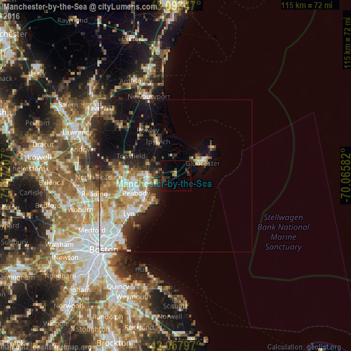
Analysis of Manchester-by-the-Sea night lights 2016
Square area 10x10 km:
 0%
0%90-99
0.63%80-89
0%70-79
0.63%60-69
1.27%50-59
0.63%40-49
2.38%30-39
3.33%20-29
4.13%10-19
9.05%0-9
77.94%Square area 50x50 km:
3.74%90-99
3.58%80-89
2%70-79
2.57%60-69
3.01%50-59
2.04%40-49
1.66%30-39
2.27%20-29
3.93%10-19
7.48%0-9
67.71%Clear (daylight) street map image can be seen on geolist.org.
Map coordinates:
43° 5' 36.5" North, 71° 28' 19.5" West
42° 34' 40.3" North, 70° 46' 8.2" West
42° 3' 28.7" North, 70° 3' 57" West
Some cities around Manchester-by-the-Sea sort by population:
• Peabody
14.2 km =8.8 mi,  246°
246°
• South Peabody
16.6 km =10.3 mi,  242°
242°
• Salem
12.3 km =7.6 mi, 238°
• Beverly
9.4 km =5.8 mi,  256°
256°
• Beverly Cove
7.5 km =4.7 mi, 248°
• Gloucester
9.5 km =5.9 mi,  65°
65°
• Danvers
13.2 km =8.2 mi,  268°
268°
• Marblehead
11.3 km =7 mi,  220°
220°
4942975 (p: 5,366)
Sources (retrieved 2019-11-25):
» Earth at Night: Flat Maps 2012, 2016