Beverly night lights from space
Night Light of Beverly (Massachusetts) from space (United States) Src. Average luminocity for 10x10km area is 60.0937% and for 50x50km: 32.006%.
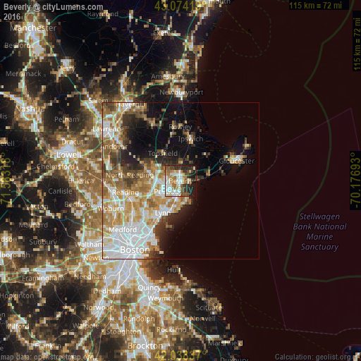
Analysis of Beverly night lights 2016
Square area 10x10 km:
 15.08%
90-99
14.6%80-89
4.92%70-79
7.3%60-69
10.48%50-59
5.56%40-49
7.94%30-39
10.16%20-29
11.75%10-19
11.75%0-9
0.48%Square area 50x50 km:
8.26%90-99
6.48%80-89
3.76%70-79
4.57%60-69
5.13%50-59
3.83%40-49
3%30-39
3.27%20-29
4.68%10-19
7.41%0-9
49.6%Clear (daylight) street map image can be seen on geolist.org.
Map coordinates:
43° 4' 27.1" North, 71° 34' 59.4" West
42° 33' 30.3" North, 70° 52' 48.2" West
42° 2' 18.1" North, 70° 10' 36.9" West
Some cities around Beverly sort by population:
• Lynn
11.7 km =7.3 mi,  209°
209°
• Peabody
5.2 km =3.2 mi,  229°
229°
• South Peabody
7.8 km =4.8 mi, 226°
• Salem
4.5 km =2.8 mi,  197°
197°
• Danvers
4.5 km =2.8 mi,  294°
294°
• Marblehead
6.7 km =4.2 mi,  164°
164°
• Swampscott
10.2 km =6.3 mi, 197°
• Manchester-by-the-Sea
9.4 km =5.8 mi,  76°
76°
4930505 (p: 41,186)
Sources (retrieved 2019-11-25):
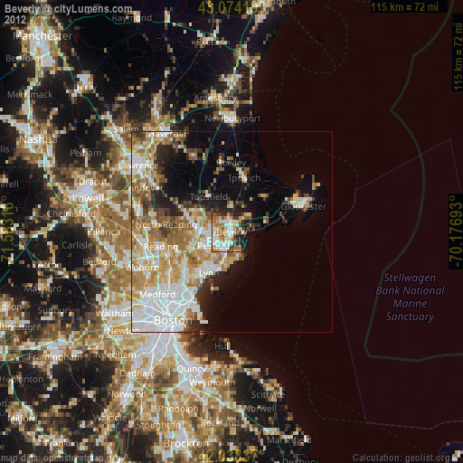
» Earth at Night: Flat Maps 2012, 2016