Luling night lights from space
Night Light of Luling (Texas) from space (United States) Src. Average luminocity for 10x10km area is 13.0317% and for 50x50km: 4.0332%.
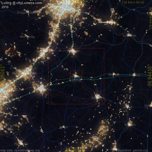
Analysis of Luling night lights 2016
Square area 10x10 km:
 0.6%
0.6%90-99
0.99%80-89
1.59%70-79
1.59%60-69
3.17%50-59
2.38%40-49
2.38%30-39
4.76%20-29
0.6%10-19
0.2%0-9
81.75%Square area 50x50 km:
0.35%90-99
0.42%80-89
0.4%70-79
0.43%60-69
0.77%50-59
0.63%40-49
0.77%30-39
0.72%20-29
0.84%10-19
2.19%0-9
92.5%Clear (daylight) street map image can be seen on geolist.org.
Map coordinates:
30° 17' 22.3" North, 98° 21' 2.3" West
29° 40' 49.8" North, 97° 38' 51" West
29° 4' 4" North, 96° 56' 39.8" West
Some cities around Luling sort by population:
• New Braunfels
46.1 km =28.6 mi,  273°
273°
• San Marcos
36.2 km =22.5 mi,  308°
308°
• Kyle
40.8 km =25.4 mi,  327°
327°
• Seguin
33.1 km =20.6 mi,  247°
247°
• Buda
48.7 km =30.3 mi,  337°
337°
• Lockhart
22.8 km =14.2 mi,  354°
354°
• Bastrop
57.5 km =35.7 mi,  33°
33°
• Gonzales
27.4 km =17 mi,  136°
136°
4708320 (p: 5,764)
Sources (retrieved 2019-11-25):
» Earth at Night: Flat Maps 2012, 2016