Los Banos night lights from space
Night Light of Los Banos (California) from space (United States) Src. Average luminocity for 10x10km area is 30.1259% and for 50x50km: 2.5902%.
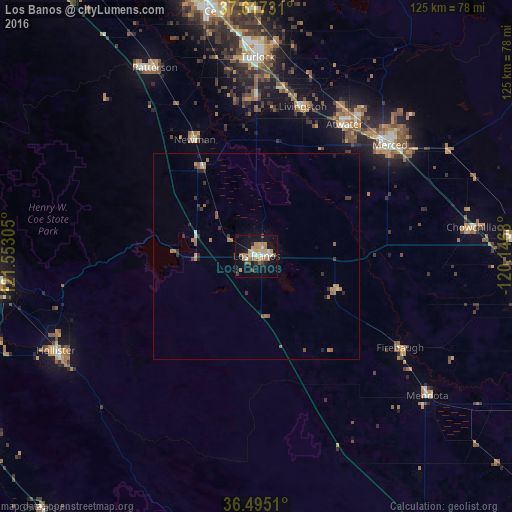
Analysis of Los Banos night lights 2016
Square area 10x10 km:
 3.4%
3.4%90-99
4.08%80-89
2.38%70-79
9.69%60-69
4.42%50-59
2.72%40-49
2.89%30-39
2.04%20-29
1.7%10-19
35.2%0-9
31.46%Square area 50x50 km:
0.17%90-99
0.21%80-89
0.12%70-79
0.65%60-69
0.58%50-59
0.39%40-49
0.19%30-39
0.6%20-29
0.25%10-19
1.72%0-9
95.11%Clear (daylight) street map image can be seen on geolist.org.
Map coordinates:
37° 37' 2.3" North, 121° 33' 11" West
37° 3' 29.8" North, 120° 50' 59.7" West
36° 29' 42.4" North, 120° 8' 48.5" West
Some cities around Los Banos sort by population:
• Atwater
38.6 km =24 mi,  33°
33°
• Livingston
38.2 km =23.7 mi,  17°
17°
• Newman
32.2 km =20 mi,  331°
331°
• Delhi
42 km =26.1 mi,  8°
8°
• Firebaugh
41.4 km =25.7 mi,  122°
122°
• Gustine
25.8 km =16 mi, 329°
• Hilmar-Irwin
38.5 km =23.9 mi,  359°
359°
• Dos Palos
21.4 km =13.3 mi,  112°
112°
5368453 (p: 37,457)
Sources (retrieved 2019-11-25):
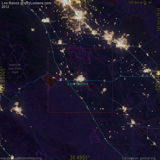
» Earth at Night: Flat Maps 2012, 2016