Lodi night lights from space
Night Light of Lodi (California) from space (United States) Src. Average luminocity for 10x10km area is 52.3486% and for 50x50km: 14.3597%.
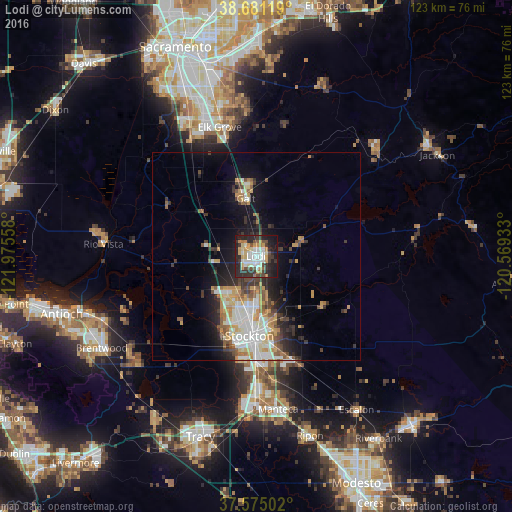

Analysis of Lodi night lights 2016
Square area 10x10 km:
 10.54%
90-99
11.05%80-89
5.1%70-79
11.22%60-69
3.74%50-59
3.23%40-49
6.97%30-39
10.88%20-29
20.75%10-19
16.16%0-9
0.34%Square area 50x50 km:
2.68%90-99
2.89%80-89
1.08%70-79
2.62%60-69
1.57%50-59
1.49%40-49
1.87%30-39
2.32%20-29
3.37%10-19
6.91%0-9
73.22%Clear (daylight) street map image can be seen on geolist.org.
Map coordinates:
38° 40' 52.3" North, 121° 58' 32.1" West
38° 7' 48.7" North, 121° 16' 20.8" West
37° 34' 30.1" North, 120° 34' 9.6" West
Some cities around Lodi sort by population:
• Stockton
19.2 km =11.9 mi,  184°
184°
• Elk Grove
32.2 km =20 mi,  344°
344°
• Galt
14 km =8.7 mi,  350°
350°
• Lathrop
34.2 km =21.3 mi, 180°
• Garden Acres
18.9 km =11.7 mi,  168°
168°
• Country Club
18.9 km =11.7 mi,  198°
198°
• August
16.9 km =10.5 mi, 176°
• Wilton
31.3 km =19.4 mi,  0°
0°
5367565 (p: 64,596)
Sources (retrieved 2019-11-25):
» NASA, Earths city lights 1995
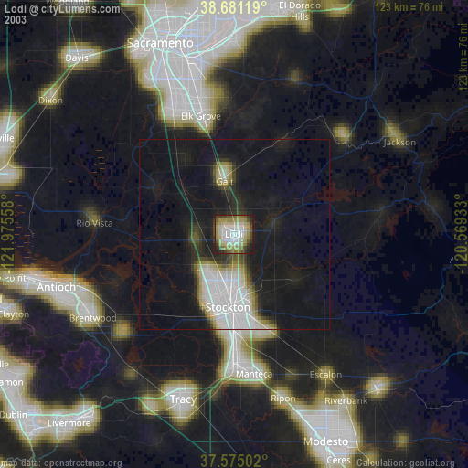
» NASA city lights 2003
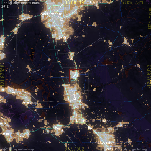
» Earth at Night: Flat Maps 2012, 2016