Galt night lights from space
Night Light of Galt (California) from space (United States) Src. Average luminocity for 10x10km area is 25.2347% and for 50x50km: 12.8378%.
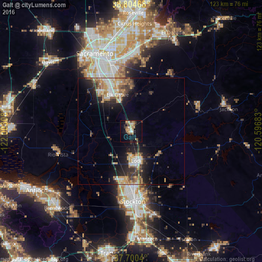
Analysis of Galt night lights 2016
Square area 10x10 km:
 0.85%
0.85%90-99
3.91%80-89
2.89%70-79
5.1%60-69
4.25%50-59
3.74%40-49
5.1%30-39
4.08%20-29
0.34%10-19
26.7%0-9
43.03%Square area 50x50 km:
1.52%90-99
2%80-89
1.1%70-79
2.67%60-69
1.97%50-59
1.37%40-49
1.92%30-39
2.66%20-29
3.3%10-19
7.66%0-9
73.83%Clear (daylight) street map image can be seen on geolist.org.
Map coordinates:
38° 48' 16.8" North, 122° 0' 11.1" West
38° 15' 16.7" North, 121° 17' 59.8" West
37° 42' 1.4" North, 120° 35' 48.6" West
Some cities around Galt sort by population:
• Elk Grove
18.2 km =11.3 mi,  339°
339°
• Lodi
14 km =8.7 mi,  170°
170°
• Florin
28.5 km =17.7 mi, 340°
• Laguna
21.4 km =13.3 mi,  329°
329°
• Vineyard
23.7 km =14.7 mi,  350°
350°
• Parkway
30.2 km =18.8 mi, 332°
• August
30.8 km =19.1 mi, 173°
• Wilton
17.6 km =10.9 mi,  7°
7°
5351428 (p: 25,303)
Sources (retrieved 2019-11-25):
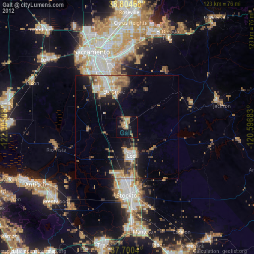
» Earth at Night: Flat Maps 2012, 2016