Livonia night lights from space
Night Light of Livonia (Michigan) from space (United States) Src. Average luminocity for 10x10km area is 93.6175% and for 50x50km: 73.1901%.
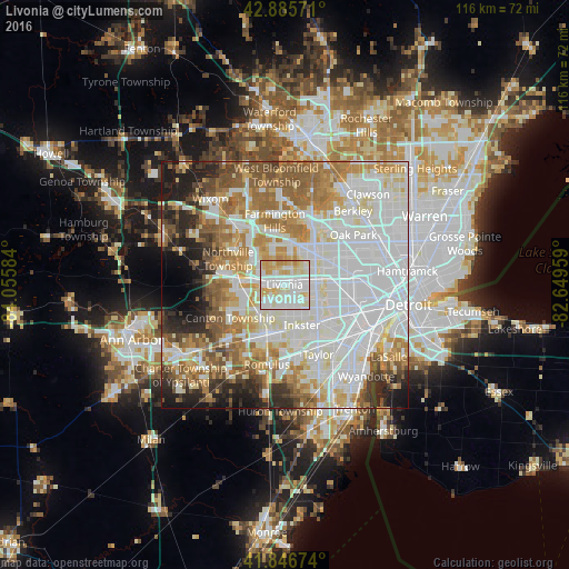
Analysis of Livonia night lights 2016
Square area 10x10 km:
 31.9%
31.9%90-99
41.27%80-89
17.94%70-79
8.89%60-69
0%50-59
0%40-49
0%30-39
0%20-29
0%10-19
0%0-9
0%Square area 50x50 km:
26.64%90-99
19.04%80-89
7.28%70-79
7.97%60-69
9.64%50-59
7.76%40-49
4.58%30-39
3.35%20-29
6.09%10-19
5.15%0-9
2.48%Clear (daylight) street map image can be seen on geolist.org.
Map coordinates:
42° 53' 8.6" North, 84° 3' 21" West
42° 22' 6.1" North, 83° 21' 9.8" West
41° 50' 48.3" North, 82° 38' 58.5" West
Some cities around Livonia sort by population:
• Westland
6.3 km =3.9 mi,  218°
218°
• Dearborn Heights
7.4 km =4.6 mi,  118°
118°
• Redford
4.9 km =3 mi,  70°
70°
• Garden City
5.1 km =3.2 mi,  159°
159°
• Inkster
9 km =5.6 mi, 156°
• Wayne
10.1 km =6.3 mi,  195°
195°
• Farmington
10.9 km =6.8 mi,  349°
349°
• Plymouth
9.7 km =6 mi,  272°
272°
4999837 (p: 94,635)
Sources (retrieved 2019-11-25):
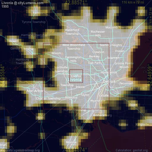
» NASA, Earths city lights 1995
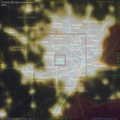
» NASA city lights 2003
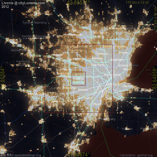
» Earth at Night: Flat Maps 2012, 2016