Dearborn Heights night lights from space
Night Light of Dearborn Heights (Michigan) from space (United States) Src. Average luminocity for 10x10km area is 97.8127% and for 50x50km: 77.2122%.
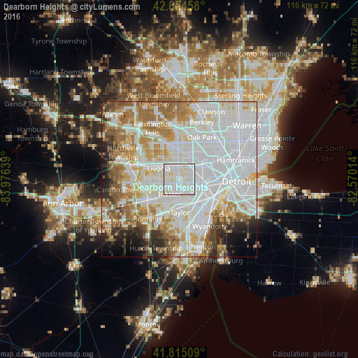
Analysis of Dearborn Heights night lights 2016
Square area 10x10 km:
 49.05%
90-99
45.56%80-89
5.4%70-79
0%60-69
0%50-59
0%40-49
0%30-39
0%20-29
0%10-19
0%0-9
0%Square area 50x50 km:
32.31%90-99
20.94%80-89
7.09%70-79
7.26%60-69
8.44%50-59
6.24%40-49
3.65%30-39
2.78%20-29
4.45%10-19
3.6%0-9
3.24%Clear (daylight) street map image can be seen on geolist.org.
Map coordinates:
42° 51' 16.5" North, 83° 58' 35" West
42° 20' 13.1" North, 83° 16' 23.7" West
41° 48' 54.3" North, 82° 34' 12.5" West
Some cities around Dearborn Heights sort by population:
• Livonia
7.4 km =4.6 mi,  298°
298°
• Westland
10.5 km =6.5 mi,  262°
262°
• Taylor
10.7 km =6.6 mi,  178°
178°
• Redford
5.5 km =3.4 mi,  339°
339°
• Allen Park
10.2 km =6.3 mi,  149°
149°
• Garden City
4.9 km =3 mi, 255°
• Inkster
5.6 km =3.5 mi,  212°
212°
• Melvindale
10.1 km =6.3 mi,  126°
126°
4990512 (p: 56,145)
Sources (retrieved 2019-11-25):
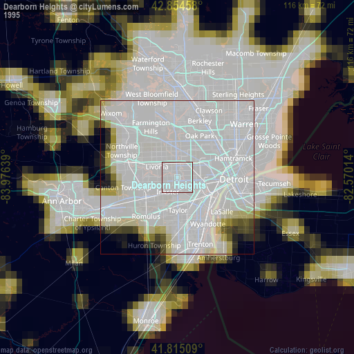
» NASA, Earths city lights 1995
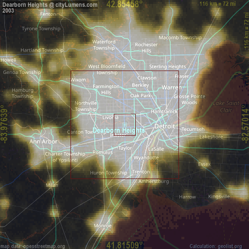
» NASA city lights 2003
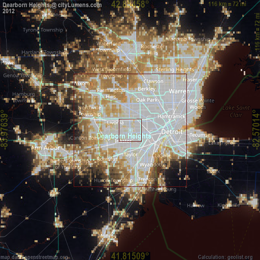
» Earth at Night: Flat Maps 2012, 2016