Baileys Crossroads night lights from space
Night Light of Baileys Crossroads (Virginia) from space (United States) Src. Average luminocity for 10x10km area is 96.0986% and for 50x50km: 75.9489%.
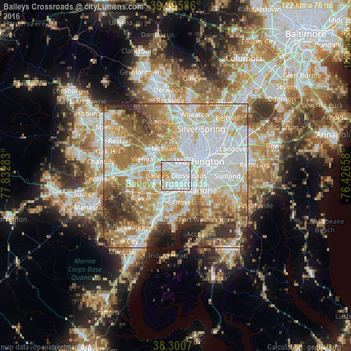
Analysis of Baileys Crossroads night lights 2016
Square area 10x10 km:
 54.59%
90-99
28.74%80-89
8.67%70-79
7.99%60-69
0%50-59
0%40-49
0%30-39
0%20-29
0%10-19
0%0-9
0%Square area 50x50 km:
23.96%90-99
17.3%80-89
10.8%70-79
12.96%60-69
11.13%50-59
7.58%40-49
4.62%30-39
4.79%20-29
4.56%10-19
2.12%0-9
0.18%Clear (daylight) street map image can be seen on geolist.org.
Map coordinates:
39° 23' 45.1" North, 77° 49' 58.2" West
38° 51' 1.4" North, 77° 7' 46.9" West
38° 18' 2.5" North, 76° 25' 35.7" West
Some cities around Baileys Crossroads sort by population:
• Arlington
4.1 km =2.5 mi,  32°
32°
• Annandale
6.2 km =3.9 mi,  248°
248°
• West Falls Church
5.3 km =3.3 mi,  287°
287°
• Lincolnia
3.7 km =2.3 mi,  198°
198°
• Rose Hill
7 km =4.3 mi,  167°
167°
• Falls Church
5 km =3.1 mi,  314°
314°
• Lake Barcroft
2.3 km =1.4 mi,  262°
262°
• Seven Corners
3.3 km =2.1 mi,  317°
317°
4745272 (p: 23,643)
Sources (retrieved 2019-11-25):
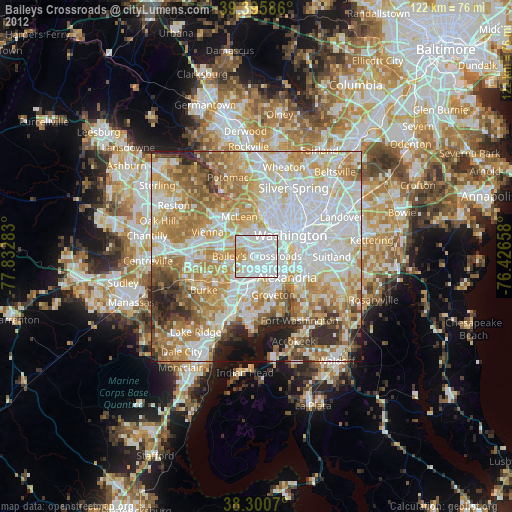
» Earth at Night: Flat Maps 2012, 2016