Lincoln Park night lights from space
Night Light of Lincoln Park (Michigan) from space (United States) Src. Average luminocity for 10x10km area is 94.5061% and for 50x50km: 65.2909%.
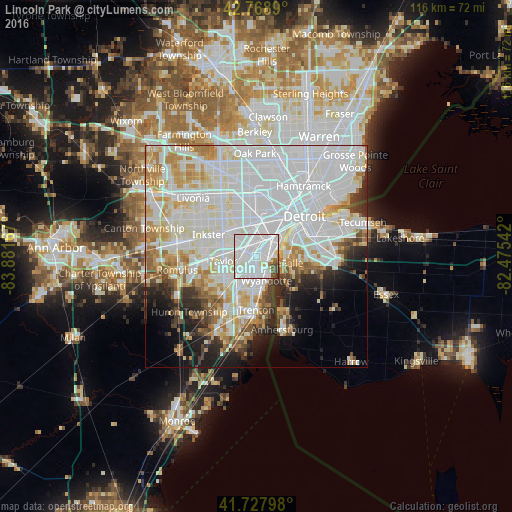
Analysis of Lincoln Park night lights 2016
Square area 10x10 km:
 52.88%
90-99
35.45%80-89
2.88%70-79
0.91%60-69
0.91%50-59
2.42%40-49
3.33%30-39
1.21%20-29
0%10-19
0%0-9
0%Square area 50x50 km:
29.38%90-99
17.64%80-89
5.73%70-79
5.91%60-69
4.62%50-59
3.24%40-49
2.86%30-39
2.98%20-29
5.11%10-19
6.33%0-9
16.2%Clear (daylight) street map image can be seen on geolist.org.
Map coordinates:
42° 46' 8" North, 83° 52' 54" West
42° 15' 2.1" North, 83° 10' 42.7" West
41° 43' 40.7" North, 82° 28' 31.5" West
Some cities around Lincoln Park sort by population:
• Dearborn
8 km =5 mi,  1°
1°
• Taylor
7.6 km =4.7 mi,  261°
261°
• Southgate
4.3 km =2.7 mi,  197°
197°
• Allen Park
2.8 km =1.7 mi,  286°
286°
• Wyandotte
4.7 km =2.9 mi,  149°
149°
• Melvindale
3.6 km =2.2 mi, 4°
• Ecorse
2.8 km =1.7 mi,  104°
104°
• River Rouge
4.4 km =2.7 mi,  55°
55°
4999311 (p: 37,012)
Sources (retrieved 2019-11-25):
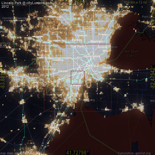
» Earth at Night: Flat Maps 2012, 2016