Ecorse night lights from space
Night Light of Ecorse (Michigan) from space (United States) Src. Average luminocity for 10x10km area is 86.4212% and for 50x50km: 61.7996%.
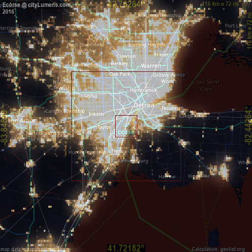
Analysis of Ecorse night lights 2016
Square area 10x10 km:
 41.36%
90-99
25.91%80-89
5.3%70-79
7.42%60-69
4.24%50-59
4.55%40-49
6.52%30-39
3.94%20-29
0.76%10-19
0%0-9
0%Square area 50x50 km:
28.06%90-99
16.63%80-89
5.38%70-79
5.13%60-69
3.7%50-59
3.03%40-49
2.81%30-39
3.06%20-29
5.66%10-19
7.69%0-9
18.86%Clear (daylight) street map image can be seen on geolist.org.
Map coordinates:
42° 45' 46.2" North, 83° 50' 56" West
42° 14' 40.1" North, 83° 8' 44.7" West
41° 43' 18.6" North, 82° 26' 33.5" West
Some cities around Ecorse sort by population:
• Dearborn
9 km =5.6 mi,  343°
343°
• Lincoln Park
2.8 km =1.7 mi,  284°
284°
• Southgate
5.2 km =3.2 mi,  229°
229°
• Allen Park
5.6 km =3.5 mi,  285°
285°
• Wyandotte
3.4 km =2.1 mi,  185°
185°
• Riverview
8.3 km =5.2 mi,  199°
199°
• Melvindale
4.9 km =3 mi,  330°
330°
• River Rouge
3.3 km =2.1 mi,  16°
16°
4991791 (p: 9,257)
Sources (retrieved 2019-11-25):
» Earth at Night: Flat Maps 2012, 2016