Levittown night lights from space
Night Light of Levittown (Pennsylvania) from space (United States) Src. Average luminocity for 10x10km area is 82.3604% and for 50x50km: 59.79%.
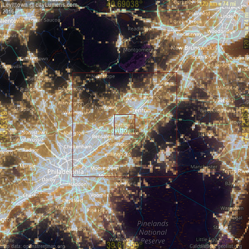
Analysis of Levittown night lights 2016
Square area 10x10 km:
 18.99%
90-99
22.08%80-89
19.32%70-79
17.05%60-69
10.55%50-59
8.12%40-49
3.9%30-39
0%20-29
0%10-19
0%0-9
0%Square area 50x50 km:
12.72%90-99
11.98%80-89
8.93%70-79
10.29%60-69
10.74%50-59
9.08%40-49
6.49%30-39
5.59%20-29
6.47%10-19
12.1%0-9
5.6%Clear (daylight) street map image can be seen on geolist.org.
Map coordinates:
40° 41' 25.4" North, 75° 31' 54.8" West
40° 9' 18.4" North, 74° 49' 43.6" West
39° 36' 56.1" North, 74° 7' 32.3" West
Some cities around Levittown sort by population:
• Trenton
10 km =6.2 mi,  46°
46°
• Croydon
9.9 km =6.2 mi,  220°
220°
• Burlington
9.8 km =6.1 mi,  198°
198°
• Bristol
6.4 km =4 mi, 197°
• White Horse
11.4 km =7.1 mi,  69°
69°
• Morrisville
7.2 km =4.5 mi,  28°
28°
• Fairless Hills
3.5 km =2.2 mi,  320°
320°
• Prospect Park
10.9 km =6.8 mi, 29°
5197796 (p: 52,983)
Sources (retrieved 2019-11-25):
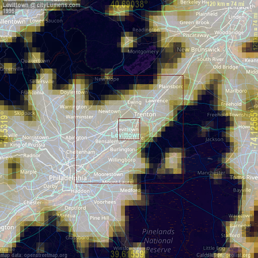
» NASA, Earths city lights 1995
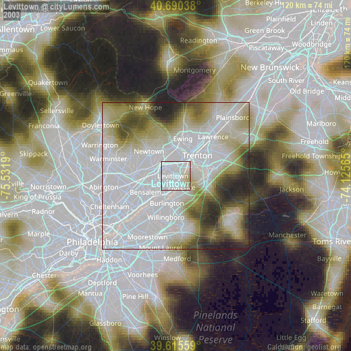
» NASA city lights 2003
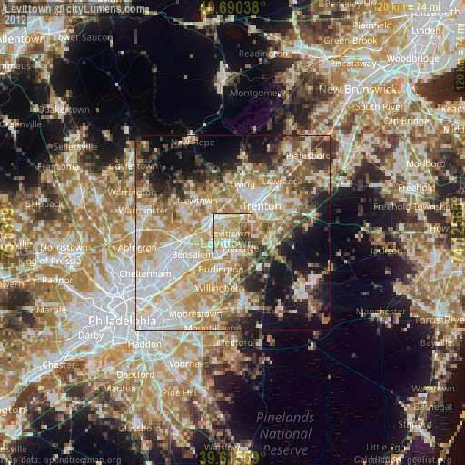
» Earth at Night: Flat Maps 2012, 2016