Trenton night lights from space
Night Light of Trenton (New Jersey) from space (United States) Src. Average luminocity for 10x10km area is 89.8912% and for 50x50km: 50.7008%.
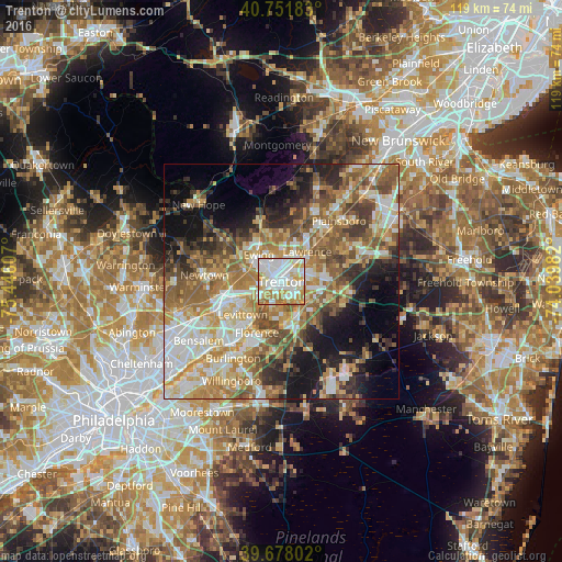
Analysis of Trenton night lights 2016
Square area 10x10 km:
 33.77%
90-99
29.22%80-89
12.18%70-79
14.12%60-69
8.12%50-59
2.44%40-49
0.16%30-39
0%20-29
0%10-19
0%0-9
0%Square area 50x50 km:
8.58%90-99
9.5%80-89
7.74%70-79
9.06%60-69
9.56%50-59
9.04%40-49
6.25%30-39
5.73%20-29
6.78%10-19
10.95%0-9
16.82%Clear (daylight) street map image can be seen on geolist.org.
Map coordinates:
40° 45' 6.6" North, 75° 26' 45.9" West
40° 13' 1.4" North, 74° 44' 34.6" West
39° 40' 40.9" North, 74° 2' 23.4" West
Some cities around Trenton sort by population:
• Ewing
7.6 km =4.7 mi,  320°
320°
• Mercerville-Hamilton Square
6.2 km =3.9 mi,  75°
75°
• Mercerville
5.3 km =3.3 mi,  65°
65°
• Hamilton Square
7.7 km =4.8 mi, 81°
• White Horse
4.5 km =2.8 mi,  130°
130°
• Morrisville
3.9 km =2.4 mi,  260°
260°
• Yardville
7.8 km =4.8 mi,  120°
120°
• Prospect Park
3.3 km =2.1 mi, 322°
5105496 (p: 84,225)
Sources (retrieved 2019-11-25):
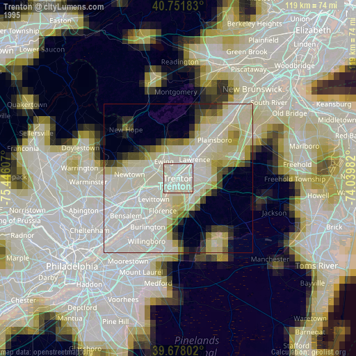
» NASA, Earths city lights 1995
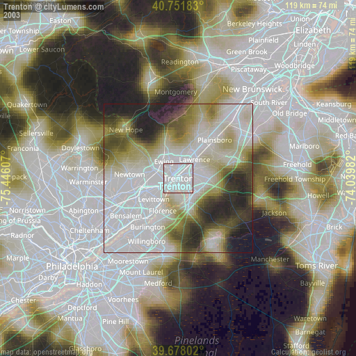
» NASA city lights 2003
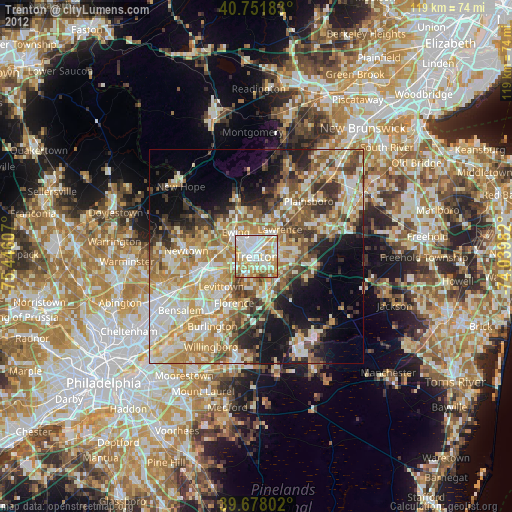
» Earth at Night: Flat Maps 2012, 2016