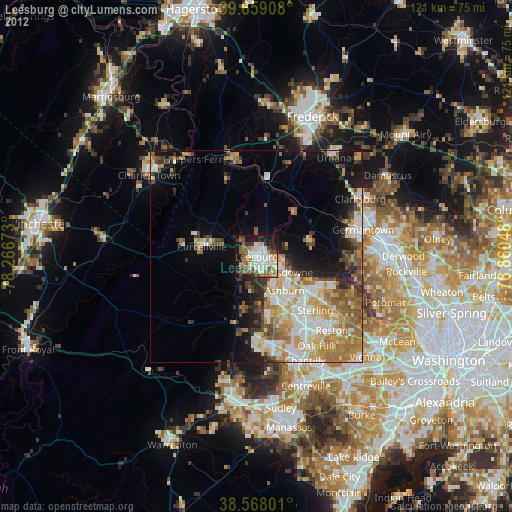
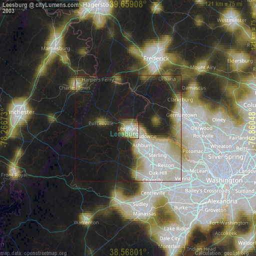
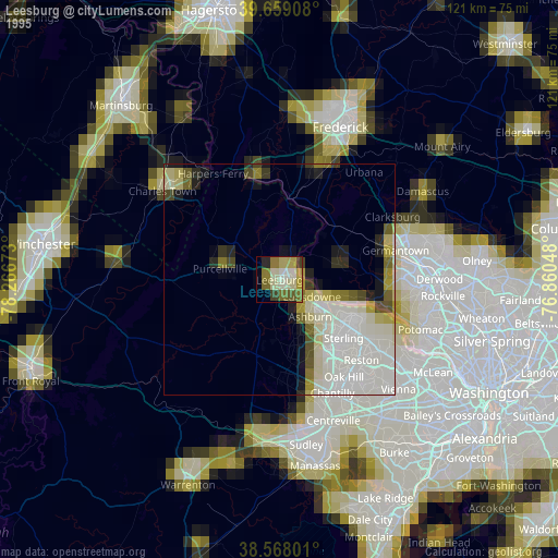
Leesburg night lights from space
Night Light of Leesburg (Virginia) from space (United States) Src. Average luminocity for 10x10km area is 54.138% and for 50x50km: 25.686%.

Analysis of Leesburg night lights 2016
Square area 10x10 km:
 11.36%
90-99
10.06%80-89
9.09%70-79
7.79%60-69
6.98%50-59
5.19%40-49
6.49%30-39
8.44%20-29
14.94%10-19
18.83%0-9
0.81%Square area 50x50 km:
4.22%90-99
4.66%80-89
3.32%70-79
4.34%60-69
5%50-59
3.58%40-49
2.46%30-39
3.16%20-29
5.05%10-19
9.63%0-9
54.58%Clear (daylight) street map image can be seen on geolist.org.
Map coordinates:
39° 39' 32.7" North, 78° 16' 0.2" West
39° 6' 56.4" North, 77° 33' 49" West
38° 34' 4.8" North, 76° 51' 37.7" West
Some cities around Leesburg sort by population:
• Ashburn
10.4 km =6.5 mi,  140°
140°
• Sterling
16.8 km =10.4 mi, 136°
• Broadlands
11.5 km =7.1 mi,  160°
160°
• Countryside
15.4 km =9.6 mi,  122°
122°
• Brambleton
15 km =9.3 mi,  171°
171°
• Purcellville
13.2 km =8.2 mi,  280°
280°
• Belmont
7.3 km =4.5 mi, 140°
• Poolesville
13.1 km =8.1 mi,  75°
75°
4769125 (p: 51,209)
Sources (retrieved 2019-11-25):
» NASA, Earths city lights 1995
» NASA city lights 2003
» Earth at Night: Flat Maps 2012, 2016