Ashburn night lights from space
Night Light of Ashburn (Virginia) from space (United States) Src. Average luminocity for 10x10km area is 79.9675% and for 50x50km: 39.599%.
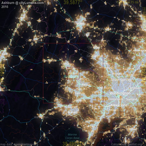
Analysis of Ashburn night lights 2016
Square area 10x10 km:
 20.45%
90-99
26.14%80-89
14.12%70-79
11.2%60-69
8.6%50-59
7.63%40-49
3.41%30-39
6.66%20-29
1.79%10-19
0%0-9
0%Square area 50x50 km:
7.72%90-99
8.02%80-89
4.95%70-79
6.92%60-69
7.94%50-59
5.84%40-49
3.72%30-39
4.6%20-29
5.94%10-19
7.56%0-9
36.78%Clear (daylight) street map image can be seen on geolist.org.
Map coordinates:
39° 35' 15.7" North, 78° 11' 26.2" West
39° 2' 37.4" North, 77° 29' 15" West
38° 29' 43.9" North, 76° 47' 3.7" West
Some cities around Ashburn sort by population:
• Leesburg
10.4 km =6.5 mi,  320°
320°
• Sterling
6.6 km =4.1 mi,  129°
129°
• Broadlands
4 km =2.5 mi,  224°
224°
• Sugarland Run
9.7 km =6 mi,  94°
94°
• Lowes Island
11.8 km =7.3 mi,  81°
81°
• Countryside
6.4 km =4 mi, 92°
• Brambleton
8.2 km =5.1 mi,  212°
212°
• Belmont
3 km =1.9 mi, 320°
4744870 (p: 43,511)
Sources (retrieved 2019-11-25):
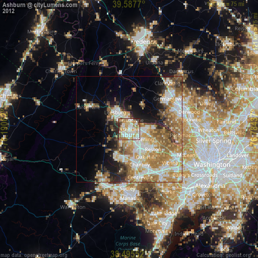
» Earth at Night: Flat Maps 2012, 2016