Leander night lights from space
Night Light of Leander (Texas) from space (United States) Src. Average luminocity for 10x10km area is 47.6795% and for 50x50km: 31.1924%.
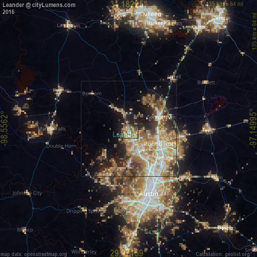
Analysis of Leander night lights 2016
Square area 10x10 km:
 2.38%
2.38%90-99
3.11%80-89
8.79%70-79
8.42%60-69
10.99%50-59
16.67%40-49
8.06%30-39
7.14%20-29
15.57%10-19
18.86%0-9
0%Square area 50x50 km:
4.16%90-99
4.81%80-89
4.59%70-79
5.37%60-69
6.31%50-59
5.84%40-49
5.21%30-39
4.14%20-29
5.99%10-19
9.29%0-9
44.31%Clear (daylight) street map image can be seen on geolist.org.
Map coordinates:
31° 10' 56.1" North, 98° 33' 22.3" West
30° 34' 43.7" North, 97° 51' 11.1" West
29° 58' 17.7" North, 97° 8' 59.8" West
Some cities around Leander sort by population:
• Round Rock
18.4 km =11.4 mi,  115°
115°
• Cedar Park
8.8 km =5.5 mi,  159°
159°
• Georgetown
17.9 km =11.1 mi,  70°
70°
• Brushy Creek
13.1 km =8.1 mi, 123°
• Jollyville
16.9 km =10.5 mi,  153°
153°
• Wells Branch
22.2 km =13.8 mi,  131°
131°
• Anderson Mill
14.5 km =9 mi, 161°
• Lago Vista
18.5 km =11.5 mi,  224°
224°
4705708 (p: 37,889)
Sources (retrieved 2019-11-25):
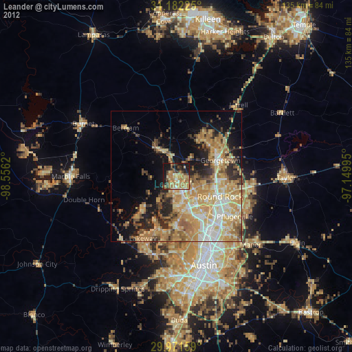
» Earth at Night: Flat Maps 2012, 2016