Laredo night lights from space
Night Light of Laredo (Texas) from space (United States) Src. Average luminocity for 10x10km area is 96.6667% and for 50x50km: 26.1704%.
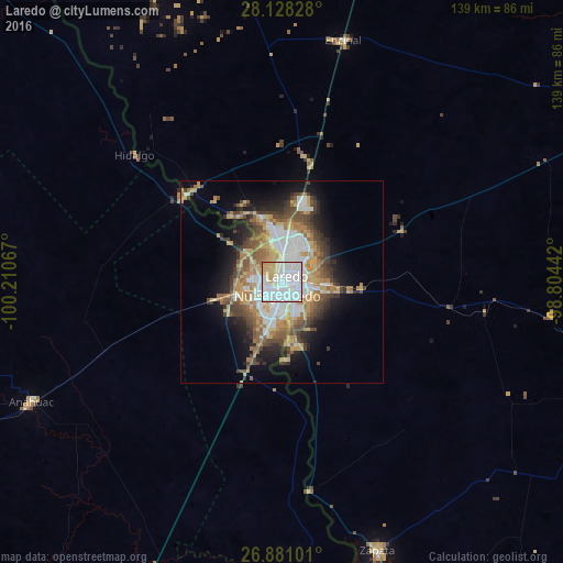

Analysis of Laredo night lights 2016
Square area 10x10 km:
 71.43%
90-99
12.9%80-89
10.91%70-79
4.17%60-69
0.6%50-59
0%40-49
0%30-39
0%20-29
0%10-19
0%0-9
0%Square area 50x50 km:
6.47%90-99
3.61%80-89
3.51%70-79
3.65%60-69
4.13%50-59
3.55%40-49
4.05%30-39
3.18%20-29
4.27%10-19
8.34%0-9
55.26%Clear (daylight) street map image can be seen on geolist.org.
Map coordinates:
28° 7' 41.8" North, 100° 12' 38.4" West
27° 30' 23.1" North, 99° 30' 27.1" West
26° 52' 51.6" North, 98° 48' 15.9" West
Some cities around Laredo sort by population:
• Nuevo Laredo, MX
3.5 km =2.2 mi,  194°
194°
• Ciudad Sabinas Hidalgo, MX
130 km =80.8 mi,  210°
210°
• Anáhuac, MX
68.2 km =42.4 mi,  244°
244°
• Roma
131.8 km =81.9 mi,  158°
158°
• El Campanario y Oradel, MX
11.7 km =7.3 mi,  251°
251°
• Carrizo Springs
118.1 km =73.4 mi,  342°
342°
• Zapata
70.6 km =43.9 mi, 160°
• Lampazos de Naranjo, MX
112.2 km =69.7 mi, 241°
4705349 (p: 255,473)
Sources (retrieved 2019-11-25):
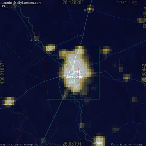
» NASA, Earths city lights 1995
» NASA city lights 2003
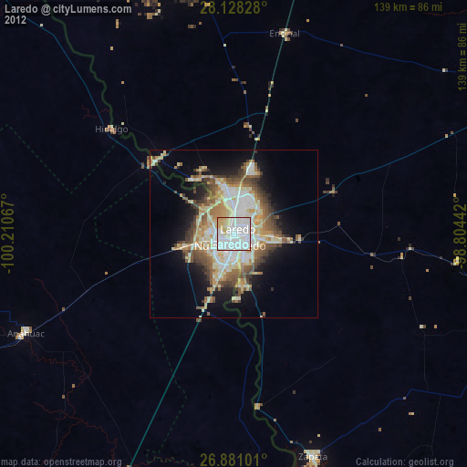
» Earth at Night: Flat Maps 2012, 2016