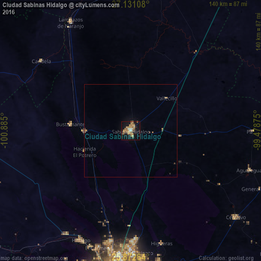
Ciudad Sabinas Hidalgo night lights from space
Night Light of Ciudad Sabinas Hidalgo (Nuevo León) from space (Mexico) Src. Average luminocity for 10x10km area is 30.6439% and for 50x50km: 1.6413%.

Analysis of Ciudad Sabinas Hidalgo night lights 2016
Square area 10x10 km:
 1.52%
1.52%90-99
2.08%80-89
6.63%70-79
8.14%60-69
9.28%50-59
2.65%40-49
2.27%30-39
2.46%20-29
1.7%10-19
30.11%0-9
33.14%Square area 50x50 km:
0.06%90-99
0.08%80-89
0.3%70-79
0.4%60-69
0.47%50-59
0.13%40-49
0.19%30-39
0.12%20-29
0.1%10-19
1.33%0-9
96.81%Clear (daylight) street map image can be seen on geolist.org.
Map coordinates:
27° 7' 51.9" North, 100° 53' 6" West
26° 30' 12.9" North, 100° 10' 54.7" West
25° 52' 21.5" North, 99° 28' 43.5" West
Some cities around Ciudad Sabinas Hidalgo sort by population:
• Fraccionamiento Real Palmas
66.7 km =41.4 mi,  178°
178°
• Hidalgo
64.9 km =40.3 mi,  204°
204°
• Ciénega de Flores
61.1 km =38 mi, 178°
• Carmen
65.6 km =40.8 mi, 196°
• Salinas Victoria
61.1 km =38 mi,  190°
190°
• Real del Sol
62.8 km =39 mi, 179°
• Villas de Alcalá
65.4 km =40.6 mi, 180°
• Lampazos de Naranjo
66.3 km =41.2 mi,  331°
331°
3988327 (p: 33,068)
Sources (retrieved 2019-11-25):
» Earth at Night: Flat Maps 2012, 2016