Nuevo Laredo night lights from space
Night Light of Nuevo Laredo (Tamaulipas) from space (Mexico) Src. Average luminocity for 10x10km area is 97.9841% and for 50x50km: 25.8053%.
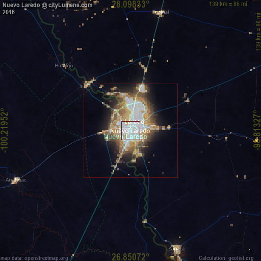
Analysis of Nuevo Laredo night lights 2016
Square area 10x10 km:
 72.22%
90-99
19.64%80-89
4.17%70-79
3.77%60-69
0.2%50-59
0%40-49
0%30-39
0%20-29
0%10-19
0%0-9
0%Square area 50x50 km:
6.46%90-99
3.59%80-89
3.5%70-79
3.59%60-69
4.11%50-59
3.51%40-49
3.97%30-39
3.16%20-29
4.26%10-19
7.58%0-9
56.29%Clear (daylight) street map image can be seen on geolist.org.
Map coordinates:
28° 5' 54" North, 100° 13' 10.3" West
27° 28' 34.6" North, 99° 30' 59" West
26° 51' 2.6" North, 98° 48' 47.8" West
Some cities around Nuevo Laredo sort by population:
• Laredo, US
3.5 km =2.2 mi,  14°
14°
• Ciudad Sabinas Hidalgo
126.7 km =78.7 mi,  211°
211°
• Anáhuac
66.1 km =41.1 mi,  247°
247°
• Roma, US
129 km =80.2 mi,  157°
157°
• El Campanario y Oradel
10.2 km =6.3 mi,  267°
267°
• Carrizo Springs, US
121.1 km =75.2 mi,  343°
343°
• Zapata, US
67.7 km =42.1 mi, 159°
• Lampazos de Naranjo
109.9 km =68.3 mi,  242°
242°
3522551 (p: 373,725)
Sources (retrieved 2019-11-25):
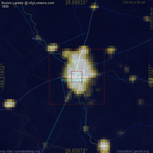
» NASA, Earths city lights 1995
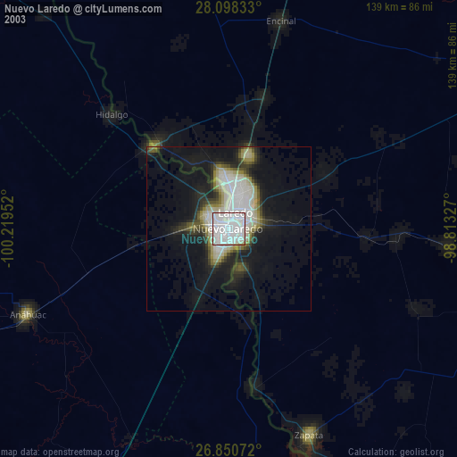
» NASA city lights 2003
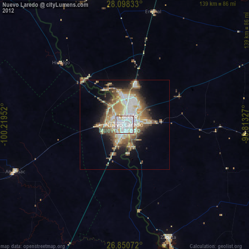
» Earth at Night: Flat Maps 2012, 2016